|
search place name
|
||
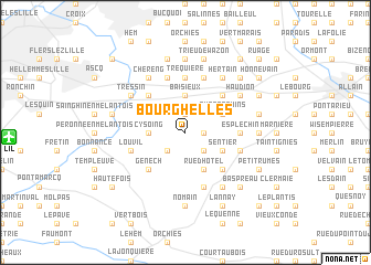
Bourghelles (Nord-Pas-de-Calais, France)Bourghelles is a town in the Nord-Pas-de-Calais region of France. An overview map of the region around Bourghelles is displayed below.
regional and 3d topo map of Bourghelles, France ::
Bourghelles airports ::
The nearest airport is LIL - Lille Lesquin, located 11.4 km west of Bourghelles.
Other airports nearby include QKT - Kortrijk-vevelgem Wevelgem (28.1 km north), OST - Oostende (75.4 km north), CRL - Charleroi Brussels South (86.2 km east), BRU - Brussels Natl (Melsbroek) (94.8 km north east), Nearby towns ::
Camphin-en-Pévèle (1.9km north) //
Maraiche (1.2km east) //
Wannehain (1.2km east) //
Cobrieux (2.2km south west) //
Sartine (2.2km south east) //
Bachy (2.2km south east) //
Cysoing (2.4km west) //
Baisieux (3.7km north) //
Quatre Chins (3.0km north east) //
Bruenne (3.0km south east) //
Sentier (3.0km south east) //
Rue dʼHôtel (3.9km south) //
Lamain (4.4km north east) //
Gruson (4.4km north west) //
La Glanerie (4.4km south east) //
Genech (4.4km south west) //
Le Crinquet (4.4km south east) //
Esplechin (3.5km east) //
Tréquière (5.6km north) //
La Verte Rue (5.7km south) //
Croisette (4.0km south east) //
LʼAventure (4.0km south east) //
Rumes (4.0km south east) //
Louvil (4.0km south west) //
Moulinel (5.7km north) //
LʼÉpine (5.7km north) //
Sin (5.7km north) //
Mouchin (6.0km south east) //
Bercu (6.0km south east) //
[all distances 'as the bird flies' and approximate] 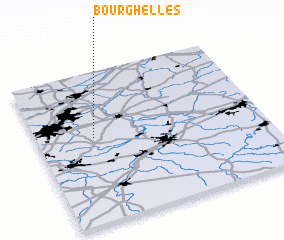 Places with similar names to Bourghelles, France ::
Disclaimer :: Information on this page comes without warranty of any kind |
||
|
Where is Bourghelles? Elevation and coordinates ::
Latitude (lat): 50°34'0"N Longitude (lon): 3°15'0"E
Elevation (approx.): 41m (map arrows pan, magnifying glasses zoom) |
||
|
Visiting Bourghelles? Hotel/Accommodation ::
Book a hotel in Bourghelles Travel Guide ::
Buy a travel guide for France rental cars ::
car rental offers GPS waypoint ::
download a GPX waypoint (PoI) of Bourghelles for your GPS receiver
|
||