|
search place name
|
||
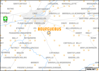
Bourguébus (Basse-Normandie, France)Bourguébus is a town in the Basse-Normandie region of France. An overview map of the region around Bourguébus is displayed below.
regional and 3d topo map of Bourguébus, France ::
Bourguébus airports ::
The nearest airport is CFR - Caen Carpiquet, located 12.6 km north west of Bourguébus.
Other airports nearby include DOL - Deauville St Gatien (43.1 km north east), LEH - Le Havre Octeville (54.3 km north east), CER - Cherbourg Maupertus (103.6 km north west), URO - Rouen Vallee De Seine (111.4 km east), Nearby towns ::
Tilly-la-Campagne (0.0km north) //
Soliers (1.9km north) //
Hubert-Folie (2.2km north west) //
Garcelles-Secqueville (2.2km south east) //
Rocquancourt (2.2km south west) //
Grentheville (3.9km north) //
Cormelles (4.4km north west) //
Saint-Aignan-de-Cramesnil (4.4km south east) //
Ifs (4.1km north west) //
Mondeville (5.7km north) //
Fontenay-le-Marmion (4.1km south west) //
Cagny (5.2km north east) //
Saint-Martin-de-Fontenay (4.9km west) //
Giberville (7.5km north) //
May-sur-Orne (5.2km west) //
Cintheaux (7.5km south) //
Faubourg de Vaucelles (6.6km north west) //
Cuverville (7.8km north) //
Démouville (7.8km north) //
Bretteville-sur-Laize (7.8km south) //
Conteville (6.1km south east) //
Caen (8.3km north west) //
Fresney-le-Puceux (7.4km south west) //
Cauvicourt (8.3km south east) //
[all distances 'as the bird flies' and approximate] 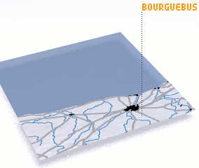 Places with similar names to Bourguébus, France ::
// Barkabasso (CF)
// Berg-Bos (BE)
Disclaimer :: Information on this page comes without warranty of any kind |
||
|
Where is Bourguébus? Elevation and coordinates ::
Latitude (lat): 49°7'0"N Longitude (lon): 0°18'0"W
Elevation (approx.): 58m (map arrows pan, magnifying glasses zoom) |
||
|
Visiting Bourguébus? Hotel/Accommodation ::
Book a hotel in Bourguébus Travel Guide ::
Buy a travel guide for France rental cars ::
car rental offers GPS waypoint ::
download a GPX waypoint (PoI) of Bourguébus for your GPS receiver
|
||