|
search place name
|
||
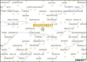
Brunembert (Nord-Pas-de-Calais, France)Brunembert is a town in the Nord-Pas-de-Calais region of France. An overview map of the region around Brunembert is displayed below.
regional and 3d topo map of Brunembert, France ::
Brunembert airports ::
The nearest airport is CQF - Calais Dunkerque, located 27.6 km north of Brunembert.
Other airports nearby include LTQ - Le Tourquet Le Touquet Paris Plage (29.7 km south west), LYX - Lydd (72.7 km west), MSE - Manston (79.7 km north west), LIL - Lille Lesquin (85.9 km east), Nearby towns ::
Selles (1.9km south) //
Longueville (2.2km north west) //
Surques (2.2km north east) //
Velinghem (2.2km south east) //
Bainghen (3.7km north) //
Escoeuilles (3.0km north east) //
Le Cantinard (3.0km south west) //
Quesques (3.0km south east) //
Choquel (3.9km south) //
Vieil-Moutier (3.9km south) //
La Commune (4.4km north east) //
Nabringhen (4.4km north west) //
Menneville (4.4km south west) //
Lottinghen (4.4km south east) //
La Calique (5.6km south) //
Henneveux (3.5km west) //
Saint-Martin-Choquel (5.7km south) //
Campagnette (5.7km south) //
Bournonville (4.0km south west) //
Herbinghen (5.7km north) //
Hocquinghen (6.0km north east) //
Sanghen (7.4km north) //
Alembon (7.5km north) //
Le Veral (5.0km east) //
Licques (7.8km north) //
Sacriquier (7.8km south) //
Senlecques (7.8km south) //
Colembert (6.0km north west) //
Rebergues (6.0km north east) //
[all distances 'as the bird flies' and approximate] 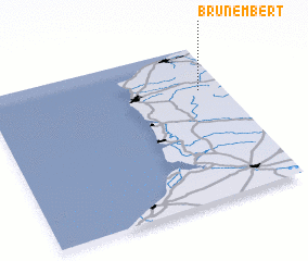 Places with similar names to Brunembert, France ::
// Beuren am Ried (DE)
Disclaimer :: Information on this page comes without warranty of any kind |
||
|
Where is Brunembert? Elevation and coordinates ::
Latitude (lat): 50°43'0"N Longitude (lon): 1°54'0"E
Elevation (approx.): 93m (map arrows pan, magnifying glasses zoom) |
||
|
Visiting Brunembert? Hotel/Accommodation ::
Book a hotel in Brunembert Travel Guide ::
Buy a travel guide for France rental cars ::
car rental offers GPS waypoint ::
download a GPX waypoint (PoI) of Brunembert for your GPS receiver
|
||