|
search place name
|
||
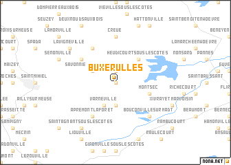
Buxerulles (Lorraine, France)Buxerulles is a town in the Lorraine region of France. An overview map of the region around Buxerulles is displayed below.
regional and 3d topo map of Buxerulles, France ::
Buxerulles airports ::
The nearest airport is MZM - Metz Frescaty, located 39.0 km north east of Buxerulles.
Other airports nearby include ETZ - Metz Nancy Lorraine (43.8 km east), ENC - Nancy Essey (47.4 km south east), EPL - Epinal Mirecourt (70.5 km south east), LUX - Luxemburg Luxembourg (90.0 km north east), Nearby towns ::
Woinville (0.0km north) //
Buxières-sous-les-Côtes (1.9km north) //
Loupmont (3.7km south) //
Varnéville (3.9km south) //
Savonnières-en-Woëvre (3.1km north west) //
Heudicourt-sous-les-Côtes (4.4km north east) //
Montsec (4.1km south east) //
Varvinay (5.2km north west) //
Apremont-la-Forêt (6.1km south west) //
Chaillon (6.1km north west) //
Creuë (7.4km north) //
Bouconville-sur-Madt (6.7km south east) //
Saint-Agnant-sous-les-Côtes (8.3km south west) //
Lavignéville (7.4km north west) //
[all distances 'as the bird flies' and approximate] 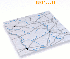 Places with similar names to Buxerulles, France ::
Disclaimer :: Information on this page comes without warranty of any kind |
||
|
Where is Buxerulles? Elevation and coordinates ::
Latitude (lat): 48°54'0"N Longitude (lon): 5°40'0"E
Elevation (approx.): 249m (map arrows pan, magnifying glasses zoom) |
||
|
Visiting Buxerulles? Hotel/Accommodation ::
Book a hotel in Buxerulles Travel Guide ::
Buy a travel guide for France rental cars ::
car rental offers GPS waypoint ::
download a GPX waypoint (PoI) of Buxerulles for your GPS receiver
|
||