|
search place name
|
||
Chabanne (Centre, France)Chabanne is a town in the Centre region of France. An overview map of the region around Chabanne is displayed below.
regional and 3d topo map of Chabanne, France ::

Chabanne airports ::
The nearest airport is LIG - Limoges Bellegarde, located 61.6 km south of Chabanne.
Other airports nearby include CHR - Chateauroux Deols (63.3 km north east), PIS - Poitiers Biard (72.4 km west), MCU - Montlucon-gueret Montlucon Gueret (91.0 km east), MCU - Montlucon Domerat (104.4 km east), Nearby towns ::
Tilly (1.3km west) //
Lagebouteau (1.3km west) //
Bernier (3.9km north) //
Saint-Martin-le-Mault (5.6km south) //
Lignac (5.6km north) //
Bonneuil (5.7km south) //
Le Four (5.7km north) //
Coulonges (5.4km west) //
Lussac-les-Églises (7.8km south) //
Les Plaignes (7.6km south east) //
Jouac (8.3km south east) //
Vouhet (9.0km north east) //
[all distances 'as the bird flies' and approximate] 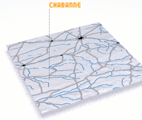 Places with similar names to Chabanne, France ::
Disclaimer :: Information on this page comes without warranty of any kind |
||
|
Where is Chabanne? Elevation and coordinates ::
Latitude (lat): 46°25'0"N Longitude (lon): 1°13'0"E
Elevation (approx.): 202m (map arrows pan, magnifying glasses zoom) |
||
|
Visiting Chabanne? Hotel/Accommodation ::
Book a hotel in Chabanne Travel Guide ::
Buy a travel guide for France rental cars ::
car rental offers GPS waypoint ::
download a GPX waypoint (PoI) of Chabanne for your GPS receiver
|
||