|
search place name
|
||
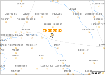
Charroux (Poitou-Charentes, France)Charroux is a town in the Poitou-Charentes region of France. An overview map of the region around Charroux is displayed below.
regional and 3d topo map of Charroux, France ::
Charroux airports ::
The nearest airport is ANG - Angouleme Brie Champniers, located 48.8 km south of Charroux.
Other airports nearby include PIS - Poitiers Biard (49.2 km north), NIT - Niort Souche (64.4 km west), LIG - Limoges Bellegarde (68.3 km south east), CNG - Cognac Chateaubernard (78.0 km south west), Nearby towns ::
La Bernardrie (2.3km north west) //
Les Malpierres (2.6km west) //
La-Chapelle-Bâton (3.7km north) //
Asnois (3.9km south) //
Montazais (5.1km west) //
Pouillac (7.5km north) //
Génouillé (6.3km south west) //
Saint-Romain (7.8km north) //
Surin (7.8km south) //
Champniers (9.0km north west) //
[all distances 'as the bird flies' and approximate] 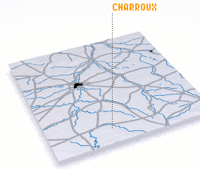 Places with similar names to Charroux, France ::
Disclaimer :: Information on this page comes without warranty of any kind |
||
|
Where is Charroux? Elevation and coordinates ::
Latitude (lat): 46°9'0"N Longitude (lon): 0°24'0"W
Elevation (approx.): 163m (map arrows pan, magnifying glasses zoom) |
||
|
Visiting Charroux? Hotel/Accommodation ::
Book a hotel in Charroux Travel Guide ::
Buy a travel guide for France rental cars ::
car rental offers GPS waypoint ::
download a GPX waypoint (PoI) of Charroux for your GPS receiver
|
||