|
search place name
|
||
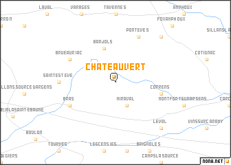
Châteauvert (Provence-Alpes-Côte dʼAzur, France)Châteauvert is a town in the Provence-Alpes-Côte dʼAzur region of France. An overview map of the region around Châteauvert is displayed below.
regional and 3d topo map of Châteauvert, France ::
Châteauvert airports ::
The nearest airport is CTT - Le Castellet, located 33.3 km south west of Châteauvert.
Other airports nearby include TLN - Hyeres Le Palyvestre (45.9 km south), QXB - Aix-les-milles Aix Les Milles (52.5 km west), MRS - Marseille Provence (65.4 km west), CEQ - Cannes Mandelieu (75.9 km east), Nearby towns ::
Miraval (3.9km south) //
Barjols (5.7km north) //
Correns (5.7km east) //
Pontevès (7.9km north) //
Bras (6.5km south west) //
Brue-Auriac (6.5km north west) //
Le Val (9.2km south east) //
Les Cabanons (9.2km north east) //
[all distances 'as the bird flies' and approximate] 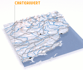 Places with similar names to Châteauvert, France ::
Disclaimer :: Information on this page comes without warranty of any kind |
||
|
Where is Châteauvert? Elevation and coordinates ::
Latitude (lat): 43°30'0"N Longitude (lon): 6°1'0"E
Elevation (approx.): 254m (map arrows pan, magnifying glasses zoom) |
||
|
Visiting Châteauvert? Hotel/Accommodation ::
Book a hotel in Châteauvert Travel Guide ::
Buy a travel guide for France rental cars ::
car rental offers GPS waypoint ::
download a GPX waypoint (PoI) of Châteauvert for your GPS receiver
|
||