|
search place name
|
||
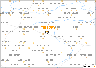
Cintrey (Franche-Comté, France)Cintrey is a town in the Franche-Comté region of France. An overview map of the region around Cintrey is displayed below.
regional and 3d topo map of Cintrey, France ::
Cintrey airports ::
The nearest airport is EPL - Epinal Mirecourt, located 68.2 km north of Cintrey.
Other airports nearby include DIJ - Dijon Longvic (73.0 km south west), DLE - Dole Tavaux (82.7 km south), ENC - Nancy Essey (110.7 km north), XCD - Chalon Champforgeuil (124.6 km south west), Nearby towns ::
La Rochelle (1.2km west) //
Molay (2.2km south west) //
Chauvirey-le-Vieil (3.7km north) //
Chauvirey-le-Châtel (3.7km north) //
Malvillers (3.1km south east) //
Charmes-Saint-Valbert (3.1km south west) //
Preigney (3.1km north east) //
Morey (5.7km south) //
Saint-Julien (5.7km south) //
La Quarte (4.2km north west) //
Bourguignon-lès-Morey (5.3km south west) //
Vitrey (7.4km north) //
Suaucourt-et-Pisseloup (7.5km south) //
Ouge (6.7km north west) //
Lavigney (6.2km south east) //
Montigny-lès-Cherlieu (7.5km north east) //
Farincourt (7.5km south west) //
Bétoncourt-les-Ménétriers (8.3km south east) //
[all distances 'as the bird flies' and approximate] 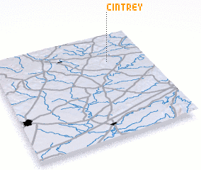 Places with similar names to Cintrey, France ::
Disclaimer :: Information on this page comes without warranty of any kind |
||
|
Where is Cintrey? Elevation and coordinates ::
Latitude (lat): 47°45'0"N Longitude (lon): 5°45'0"E
Elevation (approx.): 328m (map arrows pan, magnifying glasses zoom) |
||
|
Visiting Cintrey? Hotel/Accommodation ::
Book a hotel in Cintrey Travel Guide ::
Buy a travel guide for France rental cars ::
car rental offers GPS waypoint ::
download a GPX waypoint (PoI) of Cintrey for your GPS receiver
|
||