|
search place name
|
||
Cissé (Poitou-Charentes, France)Cissé is a town in the Poitou-Charentes region of France. An overview map of the region around Cissé is displayed below.
regional and 3d topo map of Cissé, France ::

Cissé airports ::
The nearest airport is PIS - Poitiers Biard, located 8.2 km south east of Cissé.
Other airports nearby include NIT - Niort Souche (62.6 km south west), TUF - Tours Val De Loire (94.2 km north), CET - Cholet Le Pontreau (98.4 km north west), ANG - Angouleme Brie Champniers (102.4 km south), Nearby towns ::
Neuville-du-Poitou (3.7km north) //
Puy-Lonchard (3.1km south east) //
Bellefoye (3.9km north) //
Limbre (4.5km south east) //
Beauvoir (5.7km south) //
Sigond (4.2km south east) //
Auxances (5.3km south east) //
Pouzioux (6.1km south east) //
Yversay (6.1km north west) //
Vouneuil-sous-Biard (7.5km south) //
Chabournay (7.5km north) //
Avanton (5.4km east) //
Migné-Auxances (5.4km east) //
LʼArnaye (6.7km south east) //
Villiers (6.3km north west) //
Loumeuil (6.3km north east) //
Charrais (7.5km north west) //
[all distances 'as the bird flies' and approximate] 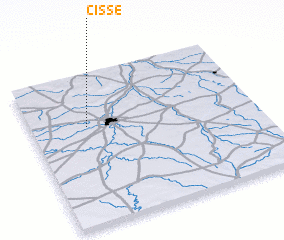 Places with similar names to Cissé, France ::
Disclaimer :: Information on this page comes without warranty of any kind |
||
|
Where is Cissé? Elevation and coordinates ::
Latitude (lat): 46°39'0"N Longitude (lon): 0°15'0"W
Elevation (approx.): 116m (map arrows pan, magnifying glasses zoom) |
||
|
Visiting Cissé? Hotel/Accommodation ::
Book a hotel in Cissé Travel Guide ::
Buy a travel guide for France rental cars ::
car rental offers GPS waypoint ::
download a GPX waypoint (PoI) of Cissé for your GPS receiver
|
||