|
search place name
|
||
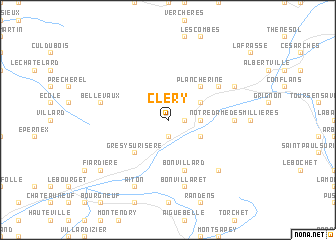
Cléry (Rhône-Alpes, France)Cléry is a town in the Rhône-Alpes region of France. An overview map of the region around Cléry is displayed below.
regional and 3d topo map of Cléry, France ::
Cléry airports ::
The nearest airport is CMF - Chambery Aix Les Bains, located 31.4 km west of Cléry.
Other airports nearby include NCY - Annecy Meythet (35.9 km north west), QNJ - Annemasse (62.1 km north), GVA - Geneva Cointrin (68.6 km north), GNB - Grenoble Saint Geoirs (80.4 km west), Nearby towns ::
Montailleur (1.9km south) //
Saint-Vital (1.3km east) //
Tournon (1.3km east) //
Les Roseaux (1.9km north) //
Frontenex-Villard-Rosset (2.6km east) //
Sainte-Hélène-sur-Isère (3.2km south east) //
Verrens-Arvey (3.2km north east) //
Grésy-sur-Isère (4.5km south west) //
Plancherine (4.5km north east) //
Bonvillard (5.7km south) //
Mercury-Gémilly (5.4km north east) //
Notre-Dame-des-Millières (5.2km east) //
Bonvillaret (7.5km south) //
Bellevaux (5.5km west) //
Léchère (6.8km south east) //
Aiton (7.9km south) //
Gilly-sur-Isère (6.4km north east) //
Fiardière (7.6km south west) //
[all distances 'as the bird flies' and approximate] 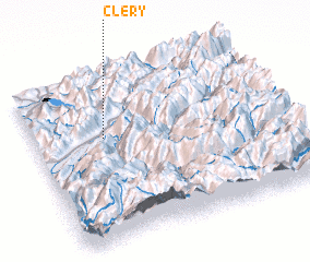 Places with similar names to Cléry, France ::
Disclaimer :: Information on this page comes without warranty of any kind |
||
|
Where is Cléry? Elevation and coordinates ::
Latitude (lat): 45°38'0"N Longitude (lon): 6°17'0"E
Elevation (approx.): 590m (map arrows pan, magnifying glasses zoom) |
||
|
Visiting Cléry? Hotel/Accommodation ::
Book a hotel in Cléry Travel Guide ::
Buy a travel guide for France rental cars ::
car rental offers GPS waypoint ::
download a GPX waypoint (PoI) of Cléry for your GPS receiver
|
||