|
search place name
|
||
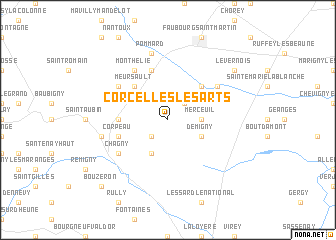
Corcelles-les-Arts (Bourgogne, France)Corcelles-les-Arts is a town in the Bourgogne region of France. An overview map of the region around Corcelles-les-Arts is displayed below.
regional and 3d topo map of Corcelles-les-Arts, France ::
Corcelles-les-Arts airports ::
The nearest airport is XCD - Chalon Champforgeuil, located 13.8 km south of Corcelles-les-Arts.
Other airports nearby include DIJ - Dijon Longvic (41.7 km north east), DLE - Dole Tavaux (48.7 km east), QNX - Macon Charnay (72.8 km south), XBK - Bourg Ceyzeriat (91.4 km south east), Nearby towns ::
Tailly (2.2km north east) //
Ébaty (2.2km south west) //
Merceuil (2.5km east) //
Demigny (3.1km south east) //
Chaudenay (3.9km south) //
Bligny-lès-Beaune (4.5km north east) //
Meursault (4.5km north west) //
Puligny-Montrachet (3.8km west) //
Volnay (5.7km north) //
Corpeau (4.2km south west) //
Auxey-Duresses (5.3km north west) //
Montagny-lès-Beaune (5.3km north east) //
Monthélie (6.1km north west) //
Chagny (5.3km south west) //
Pommard (7.5km north) //
Chassagne-Montrachet (5.4km west) //
Levernois (7.5km north east) //
Bouzeron (9.0km south west) //
[all distances 'as the bird flies' and approximate] 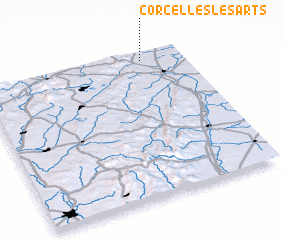 Places with similar names to Corcelles-les-Arts, France :: Disclaimer :: Information on this page comes without warranty of any kind |
||
|
Where is Corcelles-les-Arts? Elevation and coordinates ::
Latitude (lat): 46°57'0"N Longitude (lon): 4°48'0"E
Elevation (approx.): 202m (map arrows pan, magnifying glasses zoom) |
||
|
Visiting Corcelles-les-Arts? Hotel/Accommodation ::
Book a hotel in Corcelles-les-Arts Travel Guide ::
Buy a travel guide for France rental cars ::
car rental offers GPS waypoint ::
download a GPX waypoint (PoI) of Corcelles-les-Arts for your GPS receiver
|
||