|
search place name
|
||
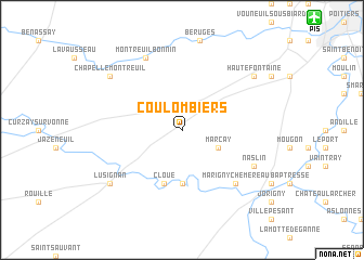
Coulombiers (Poitou-Charentes, France)Coulombiers is a town in the Poitou-Charentes region of France. An overview map of the region around Coulombiers is displayed below.
regional and 3d topo map of Coulombiers, France ::
Coulombiers airports ::
The nearest airport is PIS - Poitiers Biard, located 15.0 km north east of Coulombiers.
Other airports nearby include NIT - Niort Souche (48.9 km south west), ANG - Angouleme Brie Champniers (83.9 km south), CNG - Cognac Chateaubernard (99.6 km south west), LIG - Limoges Bellegarde (103.3 km south east), Nearby towns ::
Marçay (3.2km south east) //
Celle-Lévescault (5.6km south) //
Cloué (5.7km south) //
Marigny-Chemereau (6.8km south east) //
Naslin (6.3km south east) //
Montreuil-Bonnin (7.8km north) //
Lusignan (7.5km south west) //
Chapelle-Montreuil (7.5km north west) //
Haute Fontaine (7.5km north east) //
[all distances 'as the bird flies' and approximate] 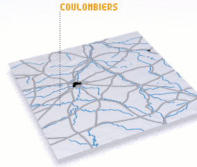 Places with similar names to Coulombiers, France ::
// Cully Moores (US)
// Clymers (US)
// Galamares (PT)
// Calmarza (ES)
// Colombres (ES)
// Culmieiros (ES)
// Calle Moras (CR)
// Gol Mūrs (IR)
// Kāl-e Marşaḩ (IR)
// Kālmarz (IR)
Disclaimer :: Information on this page comes without warranty of any kind |
||
|
Where is Coulombiers? Elevation and coordinates ::
Latitude (lat): 46°29'0"N Longitude (lon): 0°11'0"W
Elevation (approx.): 142m (map arrows pan, magnifying glasses zoom) |
||
|
Visiting Coulombiers? Hotel/Accommodation ::
Book a hotel in Coulombiers Travel Guide ::
Buy a travel guide for France rental cars ::
car rental offers GPS waypoint ::
download a GPX waypoint (PoI) of Coulombiers for your GPS receiver
|
||