|
search place name
|
||
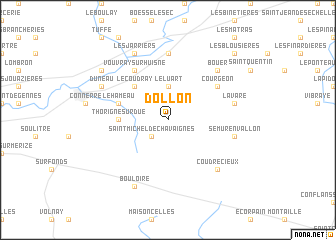
Dollon (Pays de la Loire, France)Dollon is a town in the Pays de la Loire region of France. An overview map of the region around Dollon is displayed below.
regional and 3d topo map of Dollon, France ::
Dollon airports ::
The nearest airport is LME - Le Mans Arnage, located 30.0 km west of Dollon.
Other airports nearby include TUF - Tours Val De Loire (67.7 km south), ORE - Orleans Bricy (88.0 km east), LVA - Laval Entrammes (98.9 km west), TNF - Toussous-le-noble Toussus Le Noble (138.2 km north east), Nearby towns ::
Saint-Michel-de-Chavaignes (2.2km south west) //
Le Luart (3.7km north) //
Le Coudray (4.5km north west) //
Thorigné-sur-Dué (3.7km west) //
Le Hameau (4.2km north west) //
Vouvray-sur-Huisne (6.1km north west) //
Courgeon (5.2km north east) //
Sceaux-sur-Huisne (7.4km north) //
Semur-en-Vallon (5.3km east) //
Lavaré (5.3km east) //
Bouër (6.7km north east) //
Coudrecieux (6.7km south east) //
Bouloire (7.8km south) //
Duneau (6.2km north west) //
Les Jarriers (7.8km north) //
Beillé (7.4km north west) //
Les Blousières (8.9km north east) //
[all distances 'as the bird flies' and approximate] 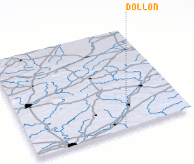 Places with similar names to Dollon, France ::
Disclaimer :: Information on this page comes without warranty of any kind |
||
|
Where is Dollon? Elevation and coordinates ::
Latitude (lat): 48°2'0"N Longitude (lon): 0°35'0"W
Elevation (approx.): 150m (map arrows pan, magnifying glasses zoom) |
||
|
Visiting Dollon? Hotel/Accommodation ::
Book a hotel in Dollon Travel Guide ::
Buy a travel guide for France rental cars ::
car rental offers GPS waypoint ::
download a GPX waypoint (PoI) of Dollon for your GPS receiver
|
||