|
search place name
|
||
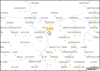
Dun (Midi-Pyrénées, France)Dun is a town in the Midi-Pyrénées region of France. An overview map of the region around Dun is displayed below.
regional and 3d topo map of Dun, France ::
Dun airports ::
The nearest airport is CCF - Carcassonne Salvaza, located 45.9 km north east of Dun.
Other airports nearby include LRH - La Rochelle Lherm (63.5 km north west), DCM - Castres Mazamet (70.4 km north east), TLS - Toulouse Blagnac (75.0 km north west), LEU - Seo De Urgel (83.6 km south west), Nearby towns ::
Viviès (2.3km north west) //
Engraviès (2.7km west) //
Tourtrol (3.7km north) //
Merviel (3.3km south west) //
Vira (3.3km north west) //
Sénesse-de-Senabugue (3.3km north east) //
Coutens (4.6km north east) //
Saint-Julien-de-Gras-Capou (4.1km east) //
Limbrassac (4.5km south east) //
Teilhet (5.7km north) //
Pradettes (5.7km south) //
Lieurac (5.7km south) //
Besset (6.2km north east) //
Rieucros (6.2km north west) //
Esclagne (6.2km south east) //
Sautel (7.4km south) //
Calzan (5.4km west) //
Manses (7.5km north) //
Tabre (6.9km south east) //
Carla-de-Roquefort (7.9km south) //
Arvigna (6.6km north west) //
Les Issards (7.8km north west) //
Vals (8.5km north west) //
Laroque-dʼOlmes (9.2km south east) //
[all distances 'as the bird flies' and approximate] 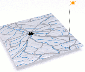 Places with similar names to Dun, France ::
Disclaimer :: Information on this page comes without warranty of any kind |
||
|
Where is Dun? Elevation and coordinates ::
Latitude (lat): 43°2'0"N Longitude (lon): 1°48'0"E
Elevation (approx.): 383m (map arrows pan, magnifying glasses zoom) |
||
|
Visiting Dun? Hotel/Accommodation ::
Book a hotel in Dun Travel Guide ::
Buy a travel guide for France rental cars ::
car rental offers GPS waypoint ::
download a GPX waypoint (PoI) of Dun for your GPS receiver
|
||