|
search place name
|
||
Emlingen (Alsace, France)Emlingen is a town in the Alsace region of France. An overview map of the region around Emlingen is displayed below.
regional and 3d topo map of Emlingen, France ::

Emlingen airports ::
The nearest airport is MLH - Bale Mulhouse, located 18.0 km east of Emlingen.
Other airports nearby include CMR - Colmar Houssen (53.2 km north), BRN - Bern Belp (81.3 km south), ZRH - Zurich (95.9 km east), ZQL - Donaueschingen Villingen (99.1 km north east), Nearby towns ::
Tagsdorf (0.0km north) //
Schwoben (1.9km south) //
Luemschwiller (1.9km north) //
Heiwiller (2.2km south east) //
Wittersdorf (2.2km south west) //
Obermorschwiller (2.2km north east) //
Walheim (3.1km north west) //
Tagolsheim (3.1km north west) //
Hausgauen (4.5km south east) //
Hundsbach (4.5km south east) //
Illfurth (4.5km north west) //
Wahlbach (3.7km east) //
Altkirch (4.2km south west) //
Bettendorf (5.7km south) //
Willer (5.7km south) //
Franken (5.3km south east) //
Froeningen (6.1km north west) //
Zillisheim (6.1km north west) //
Steinbrunn-le-Haut (5.3km north east) //
Heidwiller (5.3km north west) //
Henflingen (7.4km south) //
Grentzingen (7.4km south) //
Oberdorf (7.5km south) //
Zaessingue (5.3km east) //
Aspach (5.3km west) //
Rantzwiller (5.3km east) //
Flaxlanden (7.5km north) //
Hirsingue (6.7km south west) //
Ruederbach (7.8km south) //
[all distances 'as the bird flies' and approximate] 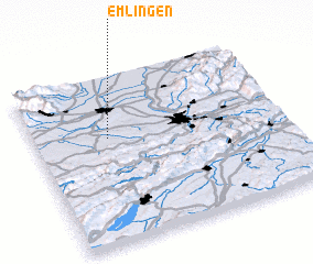 Places with similar names to Emlingen, France :: Disclaimer :: Information on this page comes without warranty of any kind |
||
|
Where is Emlingen? Elevation and coordinates ::
Latitude (lat): 47°38'0"N Longitude (lon): 7°18'0"E
Elevation (approx.): 307m (map arrows pan, magnifying glasses zoom) |
||
|
Visiting Emlingen? Hotel/Accommodation ::
Book a hotel in Emlingen Travel Guide ::
Buy a travel guide for France rental cars ::
car rental offers GPS waypoint ::
download a GPX waypoint (PoI) of Emlingen for your GPS receiver
|
||