|
search place name
|
||
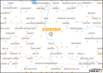
Ennemain (Picardie, France)Ennemain is a town in the Picardie region of France. An overview map of the region around Ennemain is displayed below.
regional and 3d topo map of Ennemain, France ::
Ennemain airports ::
The nearest airport is CSF - Creil, located 71.6 km south west of Ennemain.
Other airports nearby include BVA - Beauvais Tille (73.7 km south west), LIL - Lille Lesquin (81.7 km north), CDG - Paris Charles De Gaulle (95.8 km south), RHE - Reims Champagne (98.6 km south east), Nearby towns ::
Saint-Christ-Briost (2.4km west) //
Cizancourt (2.4km west) //
Falvy (3.7km south) //
Athies (3.0km north east) //
Béthencourt-sur-Somme (3.9km south) //
Croix-Moligneaux (4.4km south east) //
Y (4.4km south east) //
Épénancourt (4.4km south west) //
Pargny (5.6km south) //
Rouy-le-Grand (5.6km south) //
Brie (5.7km north) //
Mesnil-Bruntel (5.7km north) //
Éterpigny (6.1km north west) //
Matigny (5.2km south east) //
Devise (5.2km north east) //
Villers-Carbonnel (5.2km north west) //
Rouy-le-Petit (7.4km south) //
Misery (4.8km west) //
Villecourt (7.5km south) //
Mons-en-Chaussée (6.6km north east) //
Morchain (6.6km south west) //
Voyennes (7.8km south) //
Nesle (7.8km south) //
Mesnil-Saint-Nicaise (7.8km south) //
Licourt (6.1km south west) //
Potte (8.2km south west) //
Barleux (7.3km north west) //
Offoy (8.8km south east) //
Manicourt (8.8km south west) //
[all distances 'as the bird flies' and approximate] 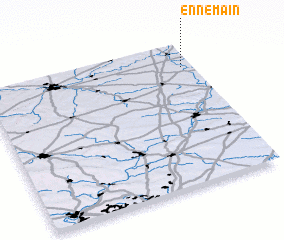 Places with similar names to Ennemain, France ::
Disclaimer :: Information on this page comes without warranty of any kind |
||
|
Where is Ennemain? Elevation and coordinates ::
Latitude (lat): 49°50'0"N Longitude (lon): 2°57'0"E
Elevation (approx.): 70m (map arrows pan, magnifying glasses zoom) |
||
|
Visiting Ennemain? Hotel/Accommodation ::
Book a hotel in Ennemain Travel Guide ::
Buy a travel guide for France rental cars ::
car rental offers GPS waypoint ::
download a GPX waypoint (PoI) of Ennemain for your GPS receiver
|
||