|
search place name
|
||
Erdeven (Bretagne, France)Erdeven is a town in the Bretagne region of France. An overview map of the region around Erdeven is displayed below.
regional and 3d topo map of Erdeven, France ::

Erdeven airports ::
The nearest airport is LRT - Lorient Lann Bihoue, located 26.0 km north west of Erdeven.
Other airports nearby include VNE - Vannes Meucon (33.9 km east), SNR - St.-nazaire Montoir (83.5 km south east), UIP - Quimper Pluguffan (85.2 km north west), SBK - St.-brieuc Armor Armor (102.9 km north), Nearby towns ::
Plouharnel (4.5km south east) //
Étel (4.2km north west) //
Belz (5.7km north) //
Saint-Cado (6.1km north west) //
Kergo (5.3km north west) //
Pont-Lorois (5.8km north west) //
Cross-Étel (5.6km north west) //
Locoal (7.4km north) //
Penthièvre (7.5km south) //
Vieux-Passage (6.2km north west) //
Le Magouër (6.2km north west) //
Le Pô (7.2km south east) //
Carnac (7.5km south east) //
Saint-Colomban (8.2km south east) //
Légenès (8.6km south east) //
Carnac-Plage (8.8km south east) //
[all distances 'as the bird flies' and approximate] 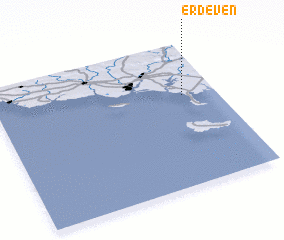 Places with similar names to Erdeven, France :: Disclaimer :: Information on this page comes without warranty of any kind |
||
|
Where is Erdeven? Elevation and coordinates ::
Latitude (lat): 47°38'0"N Longitude (lon): 3°9'0"W
Elevation (approx.): 15m (map arrows pan, magnifying glasses zoom) |
||
|
Visiting Erdeven? Hotel/Accommodation ::
Book a hotel in Erdeven Travel Guide ::
Buy a travel guide for France rental cars ::
car rental offers GPS waypoint ::
download a GPX waypoint (PoI) of Erdeven for your GPS receiver
|
||