|
search place name
|
||
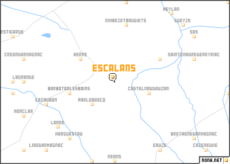
Escalans (Aquitaine, France)Escalans is a town in the Aquitaine region of France. An overview map of the region around Escalans is displayed below.
regional and 3d topo map of Escalans, France ::
Escalans airports ::
The nearest airport is AGF - Agen La Garenne, located 50.3 km north east of Escalans.
Other airports nearby include PUF - Pau Pyrenees (74.7 km south west), LDE - Tarbes Lourdes (87.6 km south), EGC - Bergerac Roumaniere (102.9 km north), BOD - Bordeaux Merignac (112.8 km north west), Nearby towns ::
Gabarret (2.3km north west) //
Parleboscq (4.6km south west) //
Castelnau-dʼAuzan (4.4km south east) //
Herré (5.5km north west) //
Barbotan-les-Bains (5.6km west) //
Saint-Pée-Saint-Simon (6.5km north east) //
[all distances 'as the bird flies' and approximate] 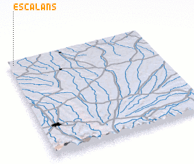 Places with similar names to Escalans, France ::
// Escalones (CO)
// Escueillens (FR)
Disclaimer :: Information on this page comes without warranty of any kind |
||
|
Where is Escalans? Elevation and coordinates ::
Latitude (lat): 43°58'0"N Longitude (lon): 0°2'0"W
Elevation (approx.): 136m (map arrows pan, magnifying glasses zoom) |
||
|
Visiting Escalans? Hotel/Accommodation ::
Book a hotel in Escalans Travel Guide ::
Buy a travel guide for France rental cars ::
car rental offers GPS waypoint ::
download a GPX waypoint (PoI) of Escalans for your GPS receiver
|
||