|
search place name
|
||
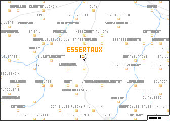
Essertaux (Picardie, France)Essertaux is a town in the Picardie region of France. An overview map of the region around Essertaux is displayed below.
regional and 3d topo map of Essertaux, France ::
Essertaux airports ::
The nearest airport is BVA - Beauvais Tille, located 34.3 km south of Essertaux.
Other airports nearby include CSF - Creil (58.6 km south), POX - Pontoise Cormeilles En Vexin (74.2 km south), CDG - Paris Charles De Gaulle (84.8 km south), URO - Rouen Vallee De Seine (87.8 km south west), Nearby towns ::
Flers-sur-Noye (1.9km south) //
Oresmaux (2.2km north east) //
Saint-Sauflieu (3.7km north) //
Le Bosquel (3.0km south west) //
Grattepanche (4.4km north east) //
Hébécourt (5.6km north) //
Fransures (5.7km south) //
Lawarde-Mauger-lʼHortoy (6.1km south east) //
Rogy (6.1km south west) //
Hallivillers (6.1km south east) //
Rumigny (6.1km north east) //
Tilloy-lès-Conty (4.8km west) //
Bonneuil-les-Eaux (7.5km south) //
Nampty (6.6km north west) //
Fossemanant (6.6km north west) //
Prouzel (6.6km north west) //
Plachy-Buyon (7.8km north) //
Neuville-lès-Loeuilly (6.1km north west) //
Croissy-sur-Celle (7.3km south west) //
Sains-en-Amiénois (8.8km north east) //
[all distances 'as the bird flies' and approximate] 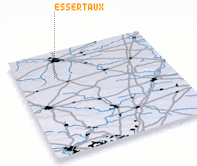 Places with similar names to Essertaux, France :: Disclaimer :: Information on this page comes without warranty of any kind |
||
|
Where is Essertaux? Elevation and coordinates ::
Latitude (lat): 49°45'0"N Longitude (lon): 2°15'0"E
Elevation (approx.): 149m (map arrows pan, magnifying glasses zoom) |
||
|
Visiting Essertaux? Hotel/Accommodation ::
Book a hotel in Essertaux Travel Guide ::
Buy a travel guide for France rental cars ::
car rental offers GPS waypoint ::
download a GPX waypoint (PoI) of Essertaux for your GPS receiver
|
||