|
search place name
|
||
Eyjeaux (Limousin, France)Eyjeaux is a town in the Limousin region of France. An overview map of the region around Eyjeaux is displayed below.
regional and 3d topo map of Eyjeaux, France ::

Eyjeaux airports ::
The nearest airport is LIG - Limoges Bellegarde, located 18.1 km north west of Eyjeaux.
Other airports nearby include BVE - Brive La Roche (70.6 km south), PGX - Perigueux Bassillac (78.7 km south west), MCU - Montlucon-gueret Montlucon Gueret (90.3 km north east), ANG - Angouleme Brie Champniers (90.6 km west), Nearby towns ::
Aureil (2.3km north east) //
Virolle (3.7km north) //
Les Nouailles (3.2km south west) //
Les Allois (3.2km north east) //
Freisseix (4.5km south west) //
La Croix Verte (4.5km south east) //
Le Châtain (3.9km east) //
Feytiat (4.3km north west) //
Saint-Paul (5.4km south east) //
Chénour (5.4km north east) //
Le Masgardaud (7.4km south) //
Boisseuil (5.5km west) //
Saint-Hilaire-Bonneval (7.5km south) //
Verdaud (7.5km north) //
La Grange (6.8km north west) //
La Briderie (6.8km south east) //
Beaumont (7.6km south east) //
[all distances 'as the bird flies' and approximate] 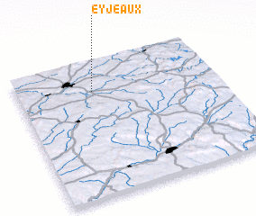 Places with similar names to Eyjeaux, France :: Disclaimer :: Information on this page comes without warranty of any kind |
||
|
Where is Eyjeaux? Elevation and coordinates ::
Latitude (lat): 45°47'0"N Longitude (lon): 1°23'0"E
Elevation (approx.): 396m (map arrows pan, magnifying glasses zoom) |
||
|
Visiting Eyjeaux? Hotel/Accommodation ::
Book a hotel in Eyjeaux Travel Guide ::
Buy a travel guide for France rental cars ::
car rental offers GPS waypoint ::
download a GPX waypoint (PoI) of Eyjeaux for your GPS receiver
|
||