|
search place name
|
||
Fay-aux-Loges (Centre, France)Fay-aux-Loges is a town in the Centre region of France. An overview map of the region around Fay-aux-Loges is displayed below.
regional and 3d topo map of Fay-aux-Loges, France ::

Fay-aux-Loges airports ::
The nearest airport is ORE - Orleans Bricy, located 28.5 km west of Fay-aux-Loges.
Other airports nearby include ORY - Paris Orly (89.6 km north), TNF - Toussous-le-noble Toussus Le Noble (91.0 km north), BOU - Bourges (98.9 km south), AUF - Auxerre Branches (102.4 km east), Nearby towns ::
Donnery (3.1km south west) //
Clêchy (3.1km north west) //
Les Fouquaux (4.5km north west) //
Traînou (4.5km north west) //
La Noue Veslée (4.5km north west) //
Laizeau (4.2km north west) //
Sully-la-Chapelle (5.3km north east) //
La Cogelière (5.0km east) //
Saint-Denis-de lʼHôtel (7.5km south) //
Jargeau (7.5km south) //
La Motte Moreau (7.5km north) //
Darvoy (7.8km south) //
Le Grand Charmoy (6.2km north west) //
La Motte (7.8km north) //
Philipponet (7.8km north) //
Ingrannes (7.5km north east) //
Loury (8.3km north west) //
Les Bernières (8.9km north west) //
[all distances 'as the bird flies' and approximate] 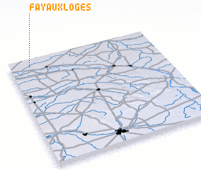 Places with similar names to Fay-aux-Loges, France :: Disclaimer :: Information on this page comes without warranty of any kind |
||
|
Where is Fay-aux-Loges? Elevation and coordinates ::
Latitude (lat): 47°56'0"N Longitude (lon): 2°8'0"E
Elevation (approx.): 111m (map arrows pan, magnifying glasses zoom) |
||
|
Visiting Fay-aux-Loges? Hotel/Accommodation ::
Book a hotel in Fay-aux-Loges Travel Guide ::
Buy a travel guide for France rental cars ::
car rental offers GPS waypoint ::
download a GPX waypoint (PoI) of Fay-aux-Loges for your GPS receiver
|
||