|
search place name
|
||
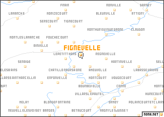
Fignévelle (Lorraine, France)Fignévelle is a town in the Lorraine region of France. An overview map of the region around Fignévelle is displayed below.
regional and 3d topo map of Fignévelle, France ::
Fignévelle airports ::
The nearest airport is EPL - Epinal Mirecourt, located 39.7 km north of Fignévelle.
Other airports nearby include ENC - Nancy Essey (82.2 km north), DIJ - Dijon Longvic (100.8 km south west), CMR - Colmar Houssen (108.5 km east), DLE - Dole Tavaux (111.3 km south), Nearby towns ::
Godoncourt (1.9km north) //
Bousseraucourt (2.2km south east) //
Lironcourt (2.2km south west) //
Grignoncourt (2.2km south west) //
Le Petit Thons (2.5km west) //
Les Thons (2.5km west) //
Le Grand Thons (2.5km west) //
Saint-Julien (3.9km north) //
Ameuvelle (4.5km south east) //
Châtillon-sur-Saône (4.5km south west) //
Jonvelle (5.6km south) //
Regnévelle (3.7km east) //
Montcourt (6.1km south east) //
Fouchécourt (5.3km north west) //
Bourbévelle (7.5km south) //
Tignécourt (7.5km north) //
Enfonvelle (6.7km south west) //
Monthureux-sur-Saône (6.7km north east) //
Serécourt (8.9km north west) //
[all distances 'as the bird flies' and approximate] 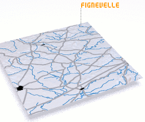 Places with similar names to Fignévelle, France ::
Disclaimer :: Information on this page comes without warranty of any kind |
||
|
Where is Fignévelle? Elevation and coordinates ::
Latitude (lat): 47°59'0"N Longitude (lon): 5°55'0"E
Elevation (approx.): 303m (map arrows pan, magnifying glasses zoom) |
||
|
Visiting Fignévelle? Hotel/Accommodation ::
Book a hotel in Fignévelle Travel Guide ::
Buy a travel guide for France rental cars ::
car rental offers GPS waypoint ::
download a GPX waypoint (PoI) of Fignévelle for your GPS receiver
|
||