|
search place name
|
||
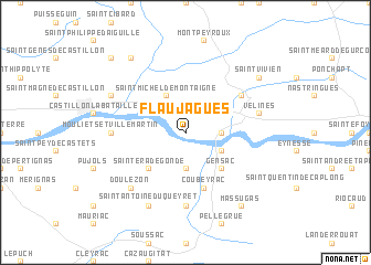
Flaujagues (Aquitaine, France)Flaujagues is a town in the Aquitaine region of France. An overview map of the region around Flaujagues is displayed below.
regional and 3d topo map of Flaujagues, France ::
Flaujagues airports ::
The nearest airport is EGC - Bergerac Roumaniere, located 37.1 km east of Flaujagues.
Other airports nearby include BOD - Bordeaux Merignac (60.5 km west), PGX - Perigueux Bassillac (72.7 km north east), AGF - Agen La Garenne (84.9 km south east), XAC - Arcachon La Teste De Buch (95.7 km west), Nearby towns ::
Montcaret (2.3km north east) //
Lamothe-Montravel (2.3km north west) //
Saint-Seurin-de-Prats (2.6km east) //
Juillac (3.7km south) //
Pessac-sur-Dordogne (3.2km south east) //
Saint-Michel-de-Montaigne (3.9km north) //
Gensac (4.5km south east) //
Sainte-Radegonde (4.5km south west) //
Coubeyrac (5.7km south) //
Bonneville-et-Saint-Avit-de-Fumadières (5.4km north east) //
Listrac-de-Durèze (7.4km south) //
Mouliets-et-Villemartin (5.3km west) //
Vélines (5.6km east) //
Doulezon (6.8km south west) //
Saint-Antoine-du-Queyret (7.9km south) //
Belvès-de-Castillon (6.4km north west) //
Massugas (8.4km south east) //
Saint-Vivien (7.7km north east) //
Les Salles-de-Castillon (8.4km north west) //
Gardegan-et-Tourtirac (9.1km north west) //
[all distances 'as the bird flies' and approximate] 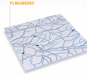 Places with similar names to Flaujagues, France ::
// Village Oaks (US)
Disclaimer :: Information on this page comes without warranty of any kind |
||
|
Where is Flaujagues? Elevation and coordinates ::
Latitude (lat): 44°50'0"N Longitude (lon): 0°3'0"W
Elevation (approx.): 9m (map arrows pan, magnifying glasses zoom) |
||
|
Visiting Flaujagues? Hotel/Accommodation ::
Book a hotel in Flaujagues Travel Guide ::
Buy a travel guide for France rental cars ::
car rental offers GPS waypoint ::
download a GPX waypoint (PoI) of Flaujagues for your GPS receiver
|
||