|
search place name
|
||
Foucherans (Franche-Comté, France)Foucherans is a town in the Franche-Comté region of France. An overview map of the region around Foucherans is displayed below.
regional and 3d topo map of Foucherans, France ::

Foucherans airports ::
The nearest airport is DLE - Dole Tavaux, located 55.0 km west of Foucherans.
Other airports nearby include DIJ - Dijon Longvic (80.1 km west), GVA - Geneva Cointrin (101.4 km south), XCD - Chalon Champforgeuil (106.4 km west), BRN - Bern Belp (106.9 km east), Nearby towns ::
Tarcenay (1.3km west) //
Trépot (2.2km north east) //
Le Gratteris (3.7km north) //
Bonnevaux-le-Prieuré (3.1km south east) //
Villers-sous-Montrond (3.8km west) //
Ornans (5.7km south) //
Malbrans (5.3km south west) //
Mamirolle (6.1km north east) //
Mérey-sous-Montrond (5.0km west) //
Chassagne-Saint-Denis (7.5km south) //
Scey-en-Varais (6.7km south west) //
Saules (6.3km south east) //
La Vèze (9.0km north west) //
Cléron (9.0km south west) //
Montgesoye (9.0km south east) //
[all distances 'as the bird flies' and approximate] 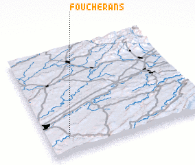 Places with similar names to Foucherans, France ::
// Foucherans (FR)
Disclaimer :: Information on this page comes without warranty of any kind |
||
|
Where is Foucherans? Elevation and coordinates ::
Latitude (lat): 47°9'0"N Longitude (lon): 6°8'0"E
Elevation (approx.): 539m (map arrows pan, magnifying glasses zoom) |
||
|
Visiting Foucherans? Hotel/Accommodation ::
Book a hotel in Foucherans Travel Guide ::
Buy a travel guide for France rental cars ::
car rental offers GPS waypoint ::
download a GPX waypoint (PoI) of Foucherans for your GPS receiver
|
||