|
search place name
|
||
Gommécourt (Nord-Pas-de-Calais, France)Gommécourt is a town in the Nord-Pas-de-Calais region of France. An overview map of the region around Gommécourt is displayed below.
regional and 3d topo map of Gommécourt, France ::

Gommécourt airports ::
The nearest airport is LIL - Lille Lesquin, located 57.0 km north east of Gommécourt.
Other airports nearby include BVA - Beauvais Tille (84.8 km south west), LTQ - Le Tourquet Le Touquet Paris Plage (84.8 km north west), QKT - Kortrijk-vevelgem Wevelgem (85.7 km north east), CSF - Creil (98.3 km south), Nearby towns ::
Foncquevillers (1.2km west) //
Hébuterne (2.2km south west) //
Hannescamps (3.9km north) //
Bienvillers-au-Bois (4.4km north west) //
Beaumont-Hamel (5.6km south) //
Bucquoy (3.6km east) //
Puisieux (4.0km south east) //
Beaucourt-sur-lʼAncre (5.7km south) //
Monchy-au-Bois (5.7km north) //
Colincamps (5.1km south west) //
Auchonvillers (6.0km south west) //
Sailly-au-Bois (5.1km west) //
Bayencourt (5.1km west) //
Berles-au-Bois (7.5km north) //
Pommier (6.6km north west) //
Adinfer (6.6km north east) //
Courcelles-au-Bois (6.0km south west) //
Douchy-lès-Ayette (6.0km north east) //
Mailly-Maillet (8.2km south west) //
Grandcourt (7.3km south east) //
Humbercamps (7.3km north west) //
La Cauchie (8.8km north west) //
[all distances 'as the bird flies' and approximate] 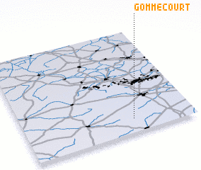 Places with similar names to Gommécourt, France ::
Disclaimer :: Information on this page comes without warranty of any kind |
||
|
Where is Gommécourt? Elevation and coordinates ::
Latitude (lat): 50°8'0"N Longitude (lon): 2°39'0"E
Elevation (approx.): 133m (map arrows pan, magnifying glasses zoom) |
||
|
Visiting Gommécourt? Hotel/Accommodation ::
Book a hotel in Gommécourt Travel Guide ::
Buy a travel guide for France rental cars ::
car rental offers GPS waypoint ::
download a GPX waypoint (PoI) of Gommécourt for your GPS receiver
|
||