|
search place name
|
||
Goulles (Limousin, France)Goulles is a town in the Limousin region of France. An overview map of the region around Goulles is displayed below.
regional and 3d topo map of Goulles, France ::

Goulles airports ::
The nearest airport is AUR - Aurillac, located 32.0 km south east of Goulles.
Other airports nearby include BVE - Brive La Roche (49.6 km west), RDZ - Rodez Marcillac (78.1 km south east), PGX - Perigueux Bassillac (101.1 km west), LIG - Limoges Bellegarde (114.7 km north west), Nearby towns ::
Saint-Geniez-ô-Merle (1.9km north) //
Saint-Bonnet-les-Tours-de-Merle (1.9km north) //
Soul (3.7km north) //
Le Vert (3.9km north) //
Saint-Julien-le-Pélerin (3.9km south) //
Saint-Cirgues-la-Loutre (4.5km north east) //
Anglards (3.9km east) //
Luc (5.7km north) //
Saint-Mathurin-Léobazel (5.4km south west) //
La Peyre (6.1km south west) //
Sexcles (5.2km west) //
Hautebrousse (7.5km north) //
Le Monteil (5.6km east) //
Cros-de-Montvert (5.6km east) //
Hautefage (6.4km north west) //
Rouffiac (6.4km south east) //
Montvert (9.1km south east) //
[all distances 'as the bird flies' and approximate] 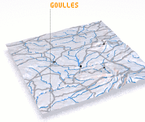 Places with similar names to Goulles, France ::
Disclaimer :: Information on this page comes without warranty of any kind |
||
|
Where is Goulles? Elevation and coordinates ::
Latitude (lat): 45°3'0"N Longitude (lon): 2°5'0"E
Elevation (approx.): 454m (map arrows pan, magnifying glasses zoom) |
||
|
Visiting Goulles? Hotel/Accommodation ::
Book a hotel in Goulles Travel Guide ::
Buy a travel guide for France rental cars ::
car rental offers GPS waypoint ::
download a GPX waypoint (PoI) of Goulles for your GPS receiver
|
||