|
search place name
|
||
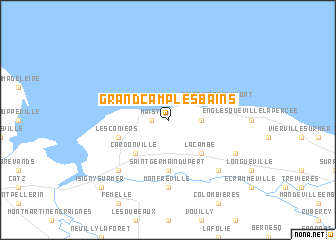
Grandcamp-les-Bains (Basse-Normandie, France)Grandcamp-les-Bains is a town in the Basse-Normandie region of France. An overview map of the region around Grandcamp-les-Bains is displayed below.
regional and 3d topo map of Grandcamp-les-Bains, France ::
Grandcamp-les-Bains airports ::
The nearest airport is CER - Cherbourg Maupertus, located 43.4 km north west of Grandcamp-les-Bains.
Other airports nearby include CFR - Caen Carpiquet (48.4 km south east), LEH - Le Havre Octeville (83.0 km east), DOL - Deauville St Gatien (86.3 km east), JER - Jersey (86.8 km west), Nearby towns ::
Maisy (1.2km west) //
Cricqueville-en-Bessin (2.4km east) //
La Cambe (4.4km south east) //
Cardonville (4.4km south west) //
Saint-Germain-du-Pert (5.6km south) //
Géfosse-Fontenay (4.1km south west) //
Les Coniers (4.1km south west) //
Saint-Pierre-du-Mont (4.1km north east) //
Monfréville (7.4km south) //
Osmanville (6.6km south west) //
Canchy (6.6km south east) //
Deux-Jumeaux (6.1km south east) //
Isigny-sur-Mer (8.8km south west) //
[all distances 'as the bird flies' and approximate] 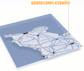 Places with similar names to Grandcamp-les-Bains, France :: Disclaimer :: Information on this page comes without warranty of any kind |
||
|
Where is Grandcamp-les-Bains? Elevation and coordinates ::
Latitude (lat): 49°23'0"N Longitude (lon): 1°2'0"W
Elevation (approx.): 20m (map arrows pan, magnifying glasses zoom) |
||
|
Visiting Grandcamp-les-Bains? Hotel/Accommodation ::
Book a hotel in Grandcamp-les-Bains Travel Guide ::
Buy a travel guide for France rental cars ::
car rental offers GPS waypoint ::
download a GPX waypoint (PoI) of Grandcamp-les-Bains for your GPS receiver
|
||