|
search place name
|
||
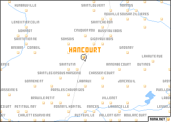
Hancourt (Champagne-Ardenne, France)Hancourt is a town in the Champagne-Ardenne region of France. An overview map of the region around Hancourt is displayed below.
regional and 3d topo map of Hancourt, France ::
Hancourt airports ::
The nearest airport is QYR - Troyes Barberey, located 46.9 km south west of Hancourt.
Other airports nearby include RHE - Reims Champagne (89.9 km north west), AUF - Auxerre Branches (110.8 km south west), EPL - Epinal Mirecourt (116.8 km east), ENC - Nancy Essey (125.9 km east), Nearby towns ::
Lignon (1.9km north) //
Margerie-Hancourt (2.2km south west) //
Chapelaine (3.1km north west) //
Saint-Utin (3.1km south west) //
Brandonvillers (3.9km north) //
Somsois (4.4km north west) //
Gigny-aux-Bois (4.4km north east) //
Chassericourt (4.4km south east) //
Labraux (5.6km south) //
Cruquerrou (5.6km north) //
Chavanges (6.1km south east) //
Saint-Léger-sous-Margerie (5.2km south west) //
Arrembécourt (5.2km east) //
Bussy-aux-Bois (6.7km north east) //
Saint-Chéron (7.8km north) //
Pars-lès-Chavanges (7.8km south) //
Balignicourt (7.4km south west) //
[all distances 'as the bird flies' and approximate] 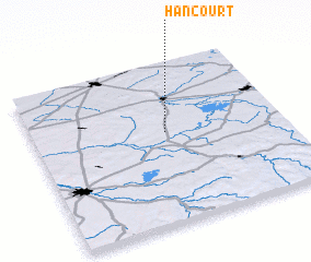 Places with similar names to Hancourt, France ::
// Huincuruta (PE)
// Hangard (DE)
// Whangarata (NZ)
// Hannocourt (FR)
// Hangard (FR)
// Haynecourt (FR)
// Hennecourt (FR)
// Henggart (CH)
// Hancourt (FR)
// Huincurata (BO)
Disclaimer :: Information on this page comes without warranty of any kind |
||
|
Where is Hancourt? Elevation and coordinates ::
Latitude (lat): 48°34'0"N Longitude (lon): 4°32'0"E
Elevation (approx.): 123m (map arrows pan, magnifying glasses zoom) |
||
|
Visiting Hancourt? Hotel/Accommodation ::
Book a hotel in Hancourt Travel Guide ::
Buy a travel guide for France rental cars ::
car rental offers GPS waypoint ::
download a GPX waypoint (PoI) of Hancourt for your GPS receiver
|
||