|
search place name
|
||
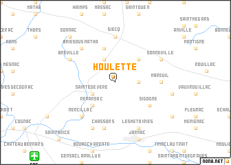
Houlette (Poitou-Charentes, France)Houlette is a town in the Poitou-Charentes region of France. An overview map of the region around Houlette is displayed below.
regional and 3d topo map of Houlette, France ::
Houlette airports ::
The nearest airport is CNG - Cognac Chateaubernard, located 15.1 km south west of Houlette.
Other airports nearby include ANG - Angouleme Brie Champniers (33.1 km east), RYN - Royan Medis (62.1 km west), RCO - Rochefort St Agnant (62.3 km west), NIT - Niort Souche (62.5 km north), Nearby towns ::
Courbillac (2.6km east) //
Macqueville (3.9km north) //
Sainte-Sévère (3.2km south west) //
Neuvicq-le-Château (4.5km north east) //
Réparsac (4.5km south west) //
Ballans (5.7km north) //
Sigogne (5.4km south east) //
Siecq (7.4km north) //
Mareuil (5.2km east) //
Chassors (7.5km south) //
Brie-sous-Matha (6.8km north west) //
Nercillac (6.8km south west) //
Bréville (6.4km north west) //
Sonneville (6.4km north east) //
Les Métairies (7.9km south) //
Julienne (7.9km south) //
Sonnac (9.0km north west) //
[all distances 'as the bird flies' and approximate] 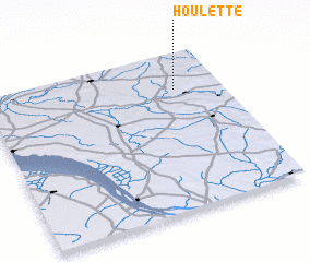 Places with similar names to Houlette, France ::
Disclaimer :: Information on this page comes without warranty of any kind |
||
|
Where is Houlette? Elevation and coordinates ::
Latitude (lat): 45°46'0"N Longitude (lon): 0°12'0"W
Elevation (approx.): 43m (map arrows pan, magnifying glasses zoom) |
||
|
Visiting Houlette? Hotel/Accommodation ::
Book a hotel in Houlette Travel Guide ::
Buy a travel guide for France rental cars ::
car rental offers GPS waypoint ::
download a GPX waypoint (PoI) of Houlette for your GPS receiver
|
||