|
search place name
|
||
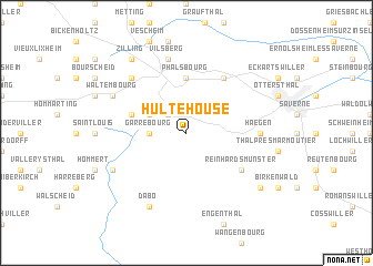
Hultehouse (Lorraine, France)Hultehouse is a town in the Lorraine region of France. An overview map of the region around Hultehouse is displayed below.
regional and 3d topo map of Hultehouse, France ::
Hultehouse airports ::
The nearest airport is SXB - Strassbourg Entzheim, located 33.2 km south east of Hultehouse.
Other airports nearby include SCN - Saarbruecken Saarbrucken (56.6 km north), CMR - Colmar Houssen (67.8 km south), ZCC - Baden-baden Baden Oos (68.2 km east), ENC - Nancy Essey (76.3 km west), Nearby towns ::
Lutzelbourg (2.2km north west) //
Garrebourg (2.4km west) //
Dannelbourg (3.1km north west) //
Phalsbourg (5.6km north) //
Henridorff (4.1km north west) //
Danne-et-Quatre-Vents (6.1km north east) //
Reinhardsmunster (5.2km south east) //
Haegen (4.9km east) //
Vilsberg (7.5km north) //
Mittelbronn (6.7km north west) //
Waltembourg (6.1km north west) //
Haselbourg (6.1km south west) //
Dabo (7.8km south) //
Hengwiller (7.4km south east) //
Zilling (8.3km north west) //
[all distances 'as the bird flies' and approximate] 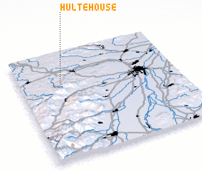
Disclaimer :: Information on this page comes without warranty of any kind |
||
|
Where is Hultehouse? Elevation and coordinates ::
Latitude (lat): 48°43'0"N Longitude (lon): 7°16'0"E
Elevation (approx.): 398m (map arrows pan, magnifying glasses zoom) |
||
|
Visiting Hultehouse? Hotel/Accommodation ::
Book a hotel in Hultehouse Travel Guide ::
Buy a travel guide for France rental cars ::
car rental offers GPS waypoint ::
download a GPX waypoint (PoI) of Hultehouse for your GPS receiver
|
||