|
search place name
|
||
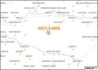
Igny-le-Jard (Champagne-Ardenne, France)Igny-le-Jard is a town in the Champagne-Ardenne region of France. An overview map of the region around Igny-le-Jard is displayed below.
regional and 3d topo map of Igny-le-Jard, France ::
Igny-le-Jard airports ::
The nearest airport is RHE - Reims Champagne, located 40.7 km north east of Igny-le-Jard.
Other airports nearby include QYR - Troyes Barberey (80.3 km south), CDG - Paris Charles De Gaulle (85.3 km west), CSF - Creil (91.3 km west), LBG - Paris Le Bourget (93.5 km west), Nearby towns ::
Comblizy (2.2km north west) //
Nesle-le-Repons (3.7km north) //
Festigny (4.4km north east) //
La Ville-sous-Orbais (6.1km south west) //
Troissy (7.4km north) //
Suizy-le-Franc (7.5km south) //
Orbais (7.5km south) //
Leuvrigny (6.6km north east) //
Mareuil-le-Port (7.8km north) //
Mareuil-en-Brie (7.8km south) //
Port à Binson (8.3km north east) //
Corribert (8.3km south east) //
Binson-et-Orquigny (8.9km north east) //
[all distances 'as the bird flies' and approximate] 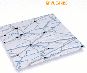 Places with similar names to Igny-le-Jard, France :: Disclaimer :: Information on this page comes without warranty of any kind |
||
|
Where is Igny-le-Jard? Elevation and coordinates ::
Latitude (lat): 49°1'0"N Longitude (lon): 3°43'0"E
Elevation (approx.): 227m (map arrows pan, magnifying glasses zoom) |
||
|
Visiting Igny-le-Jard? Hotel/Accommodation ::
Book a hotel in Igny-le-Jard Travel Guide ::
Buy a travel guide for France rental cars ::
car rental offers GPS waypoint ::
download a GPX waypoint (PoI) of Igny-le-Jard for your GPS receiver
|
||