|
search place name
|
||
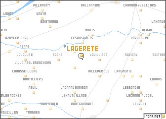
La Gereté (Centre, France)La Gereté is a town in the Centre region of France. An overview map of the region around La Gereté is displayed below.
regional and 3d topo map of La Gereté, France ::
La Gereté airports ::
The nearest airport is TUF - Tours Val De Loire, located 24.1 km north east of La Gereté.
Other airports nearby include PIS - Poitiers Biard (75.2 km south), LME - Le Mans Arnage (85.0 km north), CHR - Chateauroux Deols (95.3 km south east), CET - Cholet Le Pontreau (113.3 km west), Nearby towns ::
Thilouze (2.2km south west) //
Pont-de-Ruan (2.2km north west) //
La Villière (2.5km east) //
Artannes-sur-Indre (3.7km north) //
Les Ansaults (3.7km north) //
Villeperdue (4.5km south east) //
Saché (3.8km west) //
Monts (5.7km north) //
La Grande Maison (7.5km south) //
Bois-Tireau (9.0km north west) //
[all distances 'as the bird flies' and approximate] 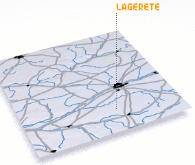 Places with similar names to La Gereté, France ::
Disclaimer :: Information on this page comes without warranty of any kind |
||
|
Where is La Gereté? Elevation and coordinates ::
Latitude (lat): 47°14'0"N Longitude (lon): 0°36'0"W
Elevation (approx.): 93m (map arrows pan, magnifying glasses zoom) |
||
|
Visiting La Gereté? Hotel/Accommodation ::
Book a hotel in La Gereté Travel Guide ::
Buy a travel guide for France rental cars ::
car rental offers GPS waypoint ::
download a GPX waypoint (PoI) of La Gereté for your GPS receiver
|
||