|
search place name
|
||
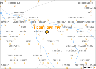
La Pichardière (Centre, France)La Pichardière is a town in the Centre region of France. An overview map of the region around La Pichardière is displayed below.
regional and 3d topo map of La Pichardière, France ::
La Pichardière airports ::
The nearest airport is TUF - Tours Val De Loire, located 46.7 km north east of La Pichardière.
Other airports nearby include PIS - Poitiers Biard (57.0 km south), CET - Cholet Le Pontreau (93.2 km west), LME - Le Mans Arnage (95.0 km north), NIT - Niort Souche (104.8 km south west), Nearby towns ::
Lémeré (2.2km south west) //
Le Coudray (2.5km west) //
Sazilly (3.9km north) //
Tavant (3.1km north east) //
Les Barrières (3.9km south) //
Champigny-sur-Veude (4.5km south west) //
Cravant-les-Coteaux (5.6km north) //
Brizay (3.8km east) //
Anché (5.3km north west) //
Panzoult (5.3km north east) //
Briançon (6.1km north west) //
La Tour-Saint-Gelin (6.1km south east) //
Chaveignes (7.4km south) //
Saint-Gilles (5.4km east) //
LʼÎle Bouchard (5.4km east) //
Malvault (6.7km north west) //
Courcoué (7.8km south) //
Assay (6.3km south west) //
La Motte (7.5km north west) //
[all distances 'as the bird flies' and approximate] 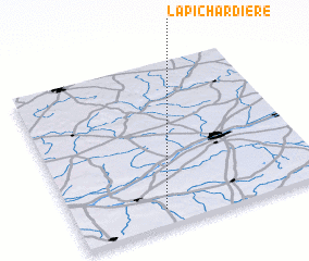 Places with similar names to La Pichardière, France :: Disclaimer :: Information on this page comes without warranty of any kind |
||
|
Where is La Pichardière? Elevation and coordinates ::
Latitude (lat): 47°6'0"N Longitude (lon): 0°21'0"W
Elevation (approx.): 79m (map arrows pan, magnifying glasses zoom) |
||
|
Visiting La Pichardière? Hotel/Accommodation ::
Book a hotel in La Pichardière Travel Guide ::
Buy a travel guide for France rental cars ::
car rental offers GPS waypoint ::
download a GPX waypoint (PoI) of La Pichardière for your GPS receiver
|
||