|
search place name
|
||
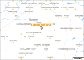
La Racineuse (Bourgogne, France)La Racineuse is a town in the Bourgogne region of France. An overview map of the region around La Racineuse is displayed below.
regional and 3d topo map of La Racineuse, France ::
La Racineuse airports ::
The nearest airport is XCD - Chalon Champforgeuil, located 25.4 km west of La Racineuse.
Other airports nearby include DLE - Dole Tavaux (31.1 km north east), DIJ - Dijon Longvic (48.6 km north), QNX - Macon Charnay (65.7 km south west), XBK - Bourg Ceyzeriat (71.1 km south), Nearby towns ::
Saint-Bonnet-en-Bresse (2.2km north east) //
Serrigny-en-Bresse (3.1km south west) //
Mervans (4.5km south east) //
Toutenant (4.5km north west) //
Dampierre-en-Bresse (3.8km east) //
Villegaudin (5.3km south west) //
Diconne (7.5km south) //
Devrouze (7.5km south) //
Saint-Didier-en-Bresse (5.4km west) //
Terrans (7.5km north east) //
Serley (7.5km south east) //
Sermesse (8.3km north west) //
Saunières (9.0km north west) //
[all distances 'as the bird flies' and approximate] 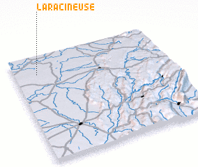 Places with similar names to La Racineuse, France ::
// Larsnes (NO)
Disclaimer :: Information on this page comes without warranty of any kind |
||
|
Where is La Racineuse? Elevation and coordinates ::
Latitude (lat): 46°50'0"N Longitude (lon): 5°9'0"E
Elevation (approx.): 192m (map arrows pan, magnifying glasses zoom) |
||
|
Visiting La Racineuse? Hotel/Accommodation ::
Book a hotel in La Racineuse Travel Guide ::
Buy a travel guide for France rental cars ::
car rental offers GPS waypoint ::
download a GPX waypoint (PoI) of La Racineuse for your GPS receiver
|
||