|
search place name
|
||
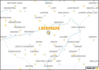
La Romagne (Champagne-Ardenne, France)La Romagne is a town in the Champagne-Ardenne region of France. An overview map of the region around La Romagne is displayed below.
regional and 3d topo map of La Romagne, France ::
La Romagne airports ::
The nearest airport is RHE - Reims Champagne, located 45.8 km south west of La Romagne.
Other airports nearby include CRL - Charleroi Brussels South (86.9 km north), LIL - Lille Lesquin (131.3 km north west), LGG - Liege (133.2 km north east), BRU - Brussels Natl (Melsbroek) (136.0 km north), Nearby towns ::
Montmeillant (1.2km east) //
Draize (3.9km south) //
Saint-Jean-aux-Bois (3.9km north) //
Maranwez (4.4km north east) //
Givron (4.4km south west) //
Lalobbe (4.0km south east) //
Wasigny (6.1km south east) //
Le Fréty (6.1km north west) //
Rocquigny (4.8km west) //
Herbigny (7.5km south) //
Doumely-Bégny (7.5km south) //
La Férée (7.5km north) //
La Neuville-lès-Wasigny (6.6km south east) //
Adon (6.6km south west) //
Chaumont-Porcien (6.1km south west) //
Chappes (8.2km south west) //
Hautes-Bruyères (8.2km north west) //
Marlemont (8.2km north east) //
[all distances 'as the bird flies' and approximate] 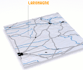 Places with similar names to La Romagne, France ::
// La Romagne (FR)
Disclaimer :: Information on this page comes without warranty of any kind |
||
|
Where is La Romagne? Elevation and coordinates ::
Latitude (lat): 49°41'0"N Longitude (lon): 4°19'0"E
Elevation (approx.): 150m (map arrows pan, magnifying glasses zoom) |
||
|
Visiting La Romagne? Hotel/Accommodation ::
Book a hotel in La Romagne Travel Guide ::
Buy a travel guide for France rental cars ::
car rental offers GPS waypoint ::
download a GPX waypoint (PoI) of La Romagne for your GPS receiver
|
||