|
search place name
|
||
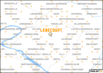
Lébécourt (Haute-Normandie, France)Lébécourt is a town in the Haute-Normandie region of France. An overview map of the region around Lébécourt is displayed below.
regional and 3d topo map of Lébécourt, France ::
Lébécourt airports ::
The nearest airport is URO - Rouen Vallee De Seine, located 30.1 km north west of Lébécourt.
Other airports nearby include POX - Pontoise Cormeilles En Vexin (41.6 km east), BVA - Beauvais Tille (51.8 km north east), TNF - Toussous-le-noble Toussus Le Noble (68.1 km south east), LBG - Paris Le Bourget (74.0 km east), Nearby towns ::
Pavée (2.2km north west) //
La Bucaille (2.2km south west) //
Guiseniers (2.4km west) //
Nézé (3.7km south) //
Forêt-la-Folie (3.0km north east) //
Travailles (3.9km north) //
Harquency (3.9km north) //
Canteloup (3.9km north) //
Hennezis (4.4km south west) //
Mézières-en-Vexin (5.6km south) //
Guitry (3.6km east) //
Mantelle (4.1km north west) //
Villers (4.1km north west) //
Surcy (5.7km south) //
Le Chesnay (4.1km south east) //
LʼÉpinay (4.1km south west) //
Mouflaines (5.2km north east) //
Richeville (6.1km north east) //
Feuquerolles (6.1km north west) //
Tourny (5.2km south east) //
Boisemont (7.4km north) //
Panilleuse (7.4km south) //
Fontenay (4.8km east) //
La Baguelande (4.8km west) //
Léomesnil (7.5km north) //
Suzay (7.5km north) //
Corville (7.5km south) //
Pressagny-le-Val (6.6km south west) //
Corbie (6.6km south east) //
[all distances 'as the bird flies' and approximate] 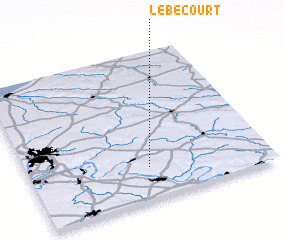
Disclaimer :: Information on this page comes without warranty of any kind |
||
|
Where is Lébécourt? Elevation and coordinates ::
Latitude (lat): 49°13'0"N Longitude (lon): 1°30'0"E
Elevation (approx.): 120m (map arrows pan, magnifying glasses zoom) |
||
|
Visiting Lébécourt? Hotel/Accommodation ::
Book a hotel in Lébécourt Travel Guide ::
Buy a travel guide for France rental cars ::
car rental offers GPS waypoint ::
download a GPX waypoint (PoI) of Lébécourt for your GPS receiver
|
||