|
search place name
|
||
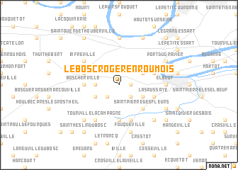
Le Bosc-Roger-en-Roumois (Haute-Normandie, France)Le Bosc-Roger-en-Roumois is a town in the Haute-Normandie region of France. An overview map of the region around Le Bosc-Roger-en-Roumois is displayed below.
regional and 3d topo map of Le Bosc-Roger-en-Roumois, France ::
Le Bosc-Roger-en-Roumois airports ::
The nearest airport is URO - Rouen Vallee De Seine, located 20.8 km north east of Le Bosc-Roger-en-Roumois.
Other airports nearby include DOL - Deauville St Gatien (57.4 km west), LEH - Le Havre Octeville (67.4 km north west), POX - Pontoise Cormeilles En Vexin (83.4 km east), BVA - Beauvais Tille (87.8 km east), Nearby towns ::
Saint-Ouen-du-Tilleul (1.2km east) //
Le Thuit-Simer (2.2km south west) //
Le Thuit-Signol (2.2km south east) //
Bosnormand (2.4km west) //
Saint-Pierre-du-Bosguérard (3.0km south west) //
Le Thuit-Anger (3.0km south east) //
La Londe (3.0km north east) //
Saint-Pierre-des-Fleurs (4.4km south east) //
Boscherville (3.6km west) //
Saint-Amand-des-Hautes-Terres (5.6km south) //
La Saussaye (4.1km south east) //
Orival (4.1km north east) //
Bourgthéroulde (4.1km north west) //
Saint-Ouen-de-Pontcheuil (5.7km south) //
Tourville-la-Campagne (6.1km south west) //
Infreville (5.2km north west) //
La Bouille (7.4km north) //
Sahurs (7.4km north) //
Elbeuf (4.8km east) //
Amfreville-la-Campagne (7.5km south) //
Fouqueville (7.5km south) //
Le Bec-Thomas (6.6km south east) //
La Haye-du-Theil (6.6km south west) //
Saint-Germain-de-Pasquier (6.1km south east) //
Port du Gravier (6.1km north east) //
Moulineaux (7.8km north) //
Saint-Meslin-du-Bosc (8.3km south west) //
Saint-Ouen-de-Thouberville (8.3km north west) //
La Harengère (7.4km south east) //
[all distances 'as the bird flies' and approximate] 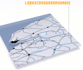 Places with similar names to Le Bosc-Roger-en-Roumois, France :: Disclaimer :: Information on this page comes without warranty of any kind |
||
|
Where is Le Bosc-Roger-en-Roumois? Elevation and coordinates ::
Latitude (lat): 49°17'0"N Longitude (lon): 0°56'0"W
Elevation (approx.): 146m (map arrows pan, magnifying glasses zoom) |
||
|
Visiting Le Bosc-Roger-en-Roumois? Hotel/Accommodation ::
Book a hotel in Le Bosc-Roger-en-Roumois Travel Guide ::
Buy a travel guide for France rental cars ::
car rental offers GPS waypoint ::
download a GPX waypoint (PoI) of Le Bosc-Roger-en-Roumois for your GPS receiver
|
||