|
search place name
|
||
Le Boulvé (Midi-Pyrénées, France)Le Boulvé is a town in the Midi-Pyrénées region of France. An overview map of the region around Le Boulvé is displayed below.
regional and 3d topo map of Le Boulvé, France ::

Le Boulvé airports ::
The nearest airport is AGF - Agen La Garenne, located 54.2 km south west of Le Boulvé.
Other airports nearby include EGC - Bergerac Roumaniere (67.4 km north west), BVE - Brive La Roche (83.2 km north), PGX - Perigueux Bassillac (89.4 km north), TLS - Toulouse Blagnac (90.8 km south), Nearby towns ::
Grézels (3.7km north) //
Floressas (3.2km north west) //
Belaye (4.6km north east) //
Saint-Matré (4.6km south west) //
Lagardelle (5.7km north) //
Les Caris (5.7km north) //
Fargues (4.4km south east) //
Juillac (5.4km north east) //
Reces (5.4km north west) //
Belmontet (7.4km south) //
Pescadoires (7.4km north) //
Sérignac (5.3km west) //
Anglars-Juillac (6.8km north east) //
Albas (6.5km north east) //
Prayssac (7.9km north) //
Puy-lʼÉvêque (7.9km north) //
Valprionde (8.4km south west) //
Castelfranc (8.4km north east) //
[all distances 'as the bird flies' and approximate] 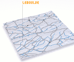 Places with similar names to Le Boulvé, France ::
Disclaimer :: Information on this page comes without warranty of any kind |
||
|
Where is Le Boulvé? Elevation and coordinates ::
Latitude (lat): 44°26'0"N Longitude (lon): 1°10'0"E
Elevation (approx.): 245m (map arrows pan, magnifying glasses zoom) |
||
|
Visiting Le Boulvé? Hotel/Accommodation ::
Book a hotel in Le Boulvé Travel Guide ::
Buy a travel guide for France rental cars ::
car rental offers GPS waypoint ::
download a GPX waypoint (PoI) of Le Boulvé for your GPS receiver
|
||