|
search place name
|
||
Les Boires dʼen Bas (Centre, France)Les Boires dʼen Bas is a town in the Centre region of France. An overview map of the region around Les Boires dʼen Bas is displayed below.
regional and 3d topo map of Les Boires dʼen Bas, France ::

Les Boires dʼen Bas airports ::
The nearest airport is BOU - Bourges, located 60.0 km south of Les Boires dʼen Bas.
Other airports nearby include ORE - Orleans Bricy (74.3 km north west), AUF - Auxerre Branches (77.0 km north east), NVS - Nevers Fourchambault (77.4 km south east), CHR - Chateauroux Deols (101.4 km south west), Nearby towns ::
La Bonde (1.3km east) //
Les Boires (1.3km east) //
Les Boires dʼen Haut (1.3km east) //
Les Commailles (2.2km north west) //
La Colonie (3.7km north) //
Le Gros Chêne (3.1km north west) //
La Tiellerie (3.8km west) //
Blancafort (5.7km south) //
Les Roseaux (5.7km south) //
Autry-le-Châtel (4.2km north east) //
Les Bruyères (6.1km north east) //
Rainçon (5.3km south west) //
Coullons (5.3km north west) //
Moulin de lʼHôpital (7.4km south) //
Les Salons (7.5km north) //
Le Taureau (7.5km north west) //
Les Robains (7.5km south east) //
[all distances 'as the bird flies' and approximate] 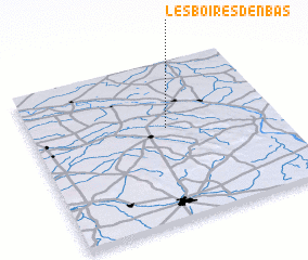 Places with similar names to Les Boires dʼen Bas, France :: Disclaimer :: Information on this page comes without warranty of any kind |
||
|
Where is Les Boires dʼen Bas? Elevation and coordinates ::
Latitude (lat): 47°35'0"N Longitude (lon): 2°33'0"E
Elevation (approx.): 189m (map arrows pan, magnifying glasses zoom) |
||
|
Visiting Les Boires dʼen Bas? Hotel/Accommodation ::
Book a hotel in Les Boires dʼen Bas Travel Guide ::
Buy a travel guide for France rental cars ::
car rental offers GPS waypoint ::
download a GPX waypoint (PoI) of Les Boires dʼen Bas for your GPS receiver
|
||