|
search place name
|
||
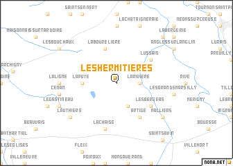
Les Hermitières (Poitou-Charentes, France)Les Hermitières is a town in the Poitou-Charentes region of France. An overview map of the region around Les Hermitières is displayed below.
regional and 3d topo map of Les Hermitières, France ::
Les Hermitières airports ::
The nearest airport is PIS - Poitiers Biard, located 38.4 km west of Les Hermitières.
Other airports nearby include CHR - Chateauroux Deols (74.9 km east), TUF - Tours Val De Loire (87.1 km north), LIG - Limoges Bellegarde (92.3 km south), NIT - Niort Souche (99.6 km west), Nearby towns ::
La Rivière (2.5km east) //
La Bussière (3.9km south) //
La Puye (3.8km west) //
La Bourelière (5.7km north) //
La Corbière (5.3km south east) //
Les Bergeas (5.3km south east) //
Artige (6.1km south east) //
Lussais (5.3km north east) //
Saint-Pierre-de-Maillé (5.3km north east) //
Paizay-le-Sec (7.5km south) //
La Chaise (7.5km south) //
Nalliers (7.5km south east) //
Lauthiers (7.5km south west) //
Vicq-sur-Gartempe (9.0km north east) //
[all distances 'as the bird flies' and approximate] 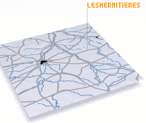 Places with similar names to Les Hermitières, France :: Disclaimer :: Information on this page comes without warranty of any kind |
||
|
Where is Les Hermitières? Elevation and coordinates ::
Latitude (lat): 46°39'0"N Longitude (lon): 0°48'0"W
Elevation (approx.): 141m (map arrows pan, magnifying glasses zoom) |
||
|
Visiting Les Hermitières? Hotel/Accommodation ::
Book a hotel in Les Hermitières Travel Guide ::
Buy a travel guide for France rental cars ::
car rental offers GPS waypoint ::
download a GPX waypoint (PoI) of Les Hermitières for your GPS receiver
|
||