|
search place name
|
||
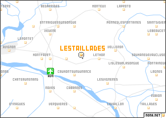
Les Taillades (Provence-Alpes-Côte dʼAzur, France)Les Taillades is a town in the Provence-Alpes-Côte dʼAzur region of France. An overview map of the region around Les Taillades is displayed below.
regional and 3d topo map of Les Taillades, France ::
Les Taillades airports ::
The nearest airport is AVN - Avignon Caumont, located 6.0 km south west of Les Taillades.
Other airports nearby include FNI - Nimes Garons (48.4 km south west), QXB - Aix-les-milles Aix Les Milles (57.5 km south east), MRS - Marseille Provence (58.8 km south), OBS - Aubenas-vals-lanas Ardeche Meridionale (82.8 km north west), Nearby towns ::
Le Thor (2.7km east) //
Châteauneuf-de-Gadagne (2.7km west) //
Caumont-sur-Durance (3.9km south) //
Saint-Saturnin-lès-Avignon (3.2km north west) //
Jonquerettes (3.2km north west) //
Morières-lès-Avignon (5.3km west) //
Cabannes (7.5km south) //
Velleron (5.7km east) //
Althen-des-Paluds (7.5km north) //
Les Vignères (6.9km south east) //
Vedène (7.7km north west) //
Entraigues-sur-Sorgue (8.4km north west) //
Noves (9.1km south west) //
[all distances 'as the bird flies' and approximate] 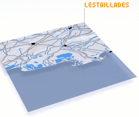 Places with similar names to Les Taillades, France ::
Disclaimer :: Information on this page comes without warranty of any kind |
||
|
Where is Les Taillades? Elevation and coordinates ::
Latitude (lat): 43°56'0"N Longitude (lon): 4°58'0"E
Elevation (approx.): 48m (map arrows pan, magnifying glasses zoom) |
||
|
Visiting Les Taillades? Hotel/Accommodation ::
Book a hotel in Les Taillades Travel Guide ::
Buy a travel guide for France rental cars ::
car rental offers GPS waypoint ::
download a GPX waypoint (PoI) of Les Taillades for your GPS receiver
|
||