|
search place name
|
||
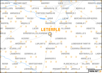
Le Temple (Centre, France)Le Temple is a town in the Centre region of France. An overview map of the region around Le Temple is displayed below.
regional and 3d topo map of Le Temple, France ::
Le Temple airports ::
The nearest airport is ORE - Orleans Bricy, located 45.5 km south east of Le Temple.
Other airports nearby include TNF - Toussous-le-noble Toussus Le Noble (68.1 km north east), ORY - Paris Orly (81.1 km north east), POX - Pontoise Cormeilles En Vexin (95.9 km north east), LME - Le Mans Arnage (101.2 km south west), Nearby towns ::
Chenonville (0.0km north) //
La Bourdinière (1.9km south) //
Saint-Loup (2.2km south west) //
Bois Mivoye (2.2km north east) //
Mignières (3.7km north) //
Boisvillette (3.9km south) //
Les Bordes (3.1km south east) //
Luplanté (4.5km south west) //
Beauvoir (5.6km south) //
Goindreville (5.6km north) //
Spoir (5.6km north) //
Ermenonville-la-Grande (3.7km west) //
Vitray-en-Beauce (5.7km south) //
Grand-Bérou (5.7km north) //
Luçon (4.1km north west) //
Villemain (4.1km north east) //
Fresnay-le-Comte (5.2km south east) //
Thivars (6.1km north east) //
Meslay-le-Vidame (6.1km south east) //
Meslay-le-Grenet (5.2km north west) //
Houdouenne (5.2km north east) //
Aufferville (5.3km west) //
Fontenay-sur-Eure (7.5km north) //
Dammarie (5.3km east) //
Andeville (6.7km south east) //
Loche (6.7km north east) //
Boncé (6.2km south east) //
Bouville (8.3km south west) //
Varenne (8.3km south east) //
[all distances 'as the bird flies' and approximate] 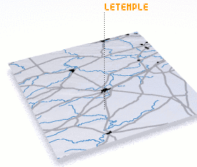 Places with similar names to Le Temple, France ::
Disclaimer :: Information on this page comes without warranty of any kind |
||
|
Where is Le Temple? Elevation and coordinates ::
Latitude (lat): 48°20'0"N Longitude (lon): 1°26'0"E
Elevation (approx.): 153m (map arrows pan, magnifying glasses zoom) |
||
|
Visiting Le Temple? Hotel/Accommodation ::
Book a hotel in Le Temple Travel Guide ::
Buy a travel guide for France rental cars ::
car rental offers GPS waypoint ::
download a GPX waypoint (PoI) of Le Temple for your GPS receiver
|
||