|
search place name
|
||
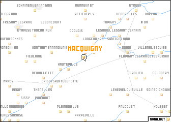
Macquigny (Picardie, France)Macquigny is a town in the Picardie region of France. An overview map of the region around Macquigny is displayed below.
regional and 3d topo map of Macquigny, France ::
Macquigny airports ::
The nearest airport is RHE - Reims Champagne, located 73.3 km south east of Macquigny.
Other airports nearby include LIL - Lille Lesquin (82.3 km north west), CRL - Charleroi Brussels South (91.0 km north east), CSF - Creil (102.3 km south west), QKT - Kortrijk-vevelgem Wevelgem (106.7 km north), Nearby towns ::
Noyales (1.9km north) //
Proix (2.2km north east) //
Hauteville (3.0km south west) //
Longchamps (3.9km north) //
Bernot (4.0km south west) //
Aisonville-et-Bernoville (5.7km north) //
Vadencourt-et-Bohéries (5.7km north) //
Grougis (5.7km north) //
Grand-Verly (6.1km north east) //
Montigny-en-Arrouaise (5.1km west) //
Origny-Sainte-Benoîte (6.6km south west) //
Saint-Germain (6.0km north east) //
Landifay-et-Bertaignemont (8.2km south east) //
Mont-dʼOrigny (7.3km south west) //
Lesquielles-Saint-Germain (7.3km north east) //
Tupigny (8.2km north east) //
Seboncourt (8.8km north west) //
[all distances 'as the bird flies' and approximate] 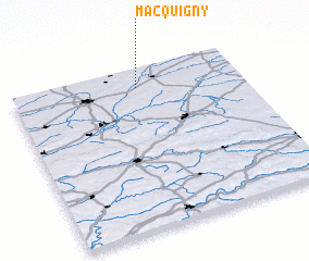 Places with similar names to Macquigny, France ::
// Magcakin (ZA)
Disclaimer :: Information on this page comes without warranty of any kind |
||
|
Where is Macquigny? Elevation and coordinates ::
Latitude (lat): 49°53'0"N Longitude (lon): 3°33'0"E
Elevation (approx.): 89m (map arrows pan, magnifying glasses zoom) |
||
|
Visiting Macquigny? Hotel/Accommodation ::
Book a hotel in Macquigny Travel Guide ::
Buy a travel guide for France rental cars ::
car rental offers GPS waypoint ::
download a GPX waypoint (PoI) of Macquigny for your GPS receiver
|
||