|
search place name
|
||
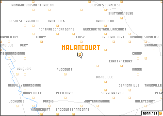
Malancourt (Lorraine, France)Malancourt is a town in the Lorraine region of France. An overview map of the region around Malancourt is displayed below.
regional and 3d topo map of Malancourt, France ::
Malancourt airports ::
The nearest airport is MZM - Metz Frescaty, located 71.5 km east of Malancourt.
Other airports nearby include ETZ - Metz Nancy Lorraine (82.8 km east), RHE - Reims Champagne (82.9 km west), LUX - Luxemburg Luxembourg (86.5 km north east), ENC - Nancy Essey (97.5 km south east), Nearby towns ::
Cuisy (3.7km north) //
Esnes-en-Argonne (3.0km south east) //
Avocourt (4.4km south west) //
Septsarges (5.7km north) //
Béthincourt (4.1km north east) //
Vignéville (6.6km south east) //
Montzéville (6.6km south east) //
Gercourt-et-Drillancourt (6.6km north east) //
Montfaucon-dʼArgonne (6.6km north west) //
Drillancourt (6.1km north east) //
Béthelainville (8.3km south east) //
Nantillois (8.3km north west) //
Dannevoux (8.3km north east) //
[all distances 'as the bird flies' and approximate] 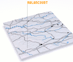 Places with similar names to Malancourt, France ::
// Malaincourt (FR)
// Melincourt (FR)
// Millencourt (FR)
// Mellangård (SE)
// Mellangård (FI)
// Mellangård (FI)
// Mellangård (FI)
// Mellangård (FI)
// Molincourt (FR)
Disclaimer :: Information on this page comes without warranty of any kind |
||
|
Where is Malancourt? Elevation and coordinates ::
Latitude (lat): 49°14'0"N Longitude (lon): 5°11'0"E
Elevation (approx.): 222m (map arrows pan, magnifying glasses zoom) |
||
|
Visiting Malancourt? Hotel/Accommodation ::
Book a hotel in Malancourt Travel Guide ::
Buy a travel guide for France rental cars ::
car rental offers GPS waypoint ::
download a GPX waypoint (PoI) of Malancourt for your GPS receiver
|
||