|
search place name
|
||
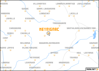
Meyrignac (Limousin, France)Meyrignac is a town in the Limousin region of France. An overview map of the region around Meyrignac is displayed below.
regional and 3d topo map of Meyrignac, France ::
Meyrignac airports ::
The nearest airport is BVE - Brive La Roche, located 52.3 km south west of Meyrignac.
Other airports nearby include LIG - Limoges Bellegarde (53.1 km north west), PGX - Perigueux Bassillac (83.7 km south west), MCU - Montlucon-gueret Montlucon Gueret (86.3 km north east), AUR - Aurillac (94.0 km south east), Nearby towns ::
Chamberet (1.3km west) //
Soudaine-Lavinadière (3.7km south) //
Trassoudaine (4.5km north east) //
Affieux (7.5km south) //
Le Bouchet (7.5km north) //
Exeidioux (7.6km north west) //
Rilhac-Treignac (7.6km south west) //
Treignac (7.6km south east) //
LʼÉglise-aux-Bois (9.0km north east) //
[all distances 'as the bird flies' and approximate] 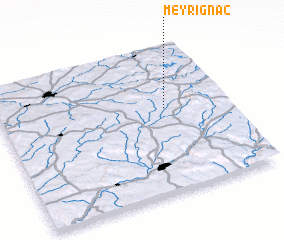 Places with similar names to Meyrignac, France ::
// Marakawng (MM)
// Maragang (MY)
// Marakang (MY)
// Morgowniki (PL)
// Mmorogong (ZA)
// Maroakanga (MG)
// Maroakanga (MG)
// Maroakanga (MG)
// Morgnec (US)
// Margāng (BD)
Disclaimer :: Information on this page comes without warranty of any kind |
||
|
Where is Meyrignac? Elevation and coordinates ::
Latitude (lat): 45°35'0"N Longitude (lon): 1°44'0"E
Elevation (approx.): 422m (map arrows pan, magnifying glasses zoom) |
||
|
Visiting Meyrignac? Hotel/Accommodation ::
Book a hotel in Meyrignac Travel Guide ::
Buy a travel guide for France rental cars ::
car rental offers GPS waypoint ::
download a GPX waypoint (PoI) of Meyrignac for your GPS receiver
|
||