|
search place name
|
||
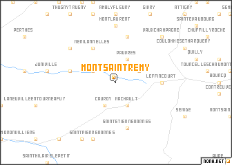
Mont-Saint-Rémy (Champagne-Ardenne, France)Mont-Saint-Rémy is a town in the Champagne-Ardenne region of France. An overview map of the region around Mont-Saint-Rémy is displayed below.
regional and 3d topo map of Mont-Saint-Rémy, France ::
Mont-Saint-Rémy airports ::
The nearest airport is RHE - Reims Champagne, located 32.5 km west of Mont-Saint-Rémy.
Other airports nearby include CRL - Charleroi Brussels South (119.7 km north), QYR - Troyes Barberey (122.9 km south), MZM - Metz Frescaty (125.0 km east), LUX - Luxemburg Luxembourg (128.1 km east), Nearby towns ::
Cauroy (3.9km south) //
Machault (3.9km south) //
Ville-sur-Retourne (3.0km north west) //
Dricourt (3.0km north east) //
Pauvres (3.9km north) //
Ménil-Annelles (6.1km north west) //
Leffincourt (4.8km east) //
Saint-Étienne-à-Arnes (7.5km south) //
Bignicourt (5.2km west) //
Saulces-Champenoises (7.5km north) //
Annelles (7.4km north west) //
Vaux-Champagne (8.8km north east) //
[all distances 'as the bird flies' and approximate] 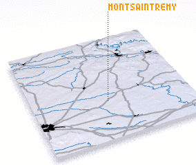 Places with similar names to Mont-Saint-Rémy, France :: Disclaimer :: Information on this page comes without warranty of any kind |
||
|
Where is Mont-Saint-Rémy? Elevation and coordinates ::
Latitude (lat): 49°23'0"N Longitude (lon): 4°29'0"E
Elevation (approx.): 114m (map arrows pan, magnifying glasses zoom) |
||
|
Visiting Mont-Saint-Rémy? Hotel/Accommodation ::
Book a hotel in Mont-Saint-Rémy Travel Guide ::
Buy a travel guide for France rental cars ::
car rental offers GPS waypoint ::
download a GPX waypoint (PoI) of Mont-Saint-Rémy for your GPS receiver
|
||