|
search place name
|
||
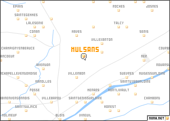
Mulsans (Centre, France)Mulsans is a town in the Centre region of France. An overview map of the region around Mulsans is displayed below.
regional and 3d topo map of Mulsans, France ::
Mulsans airports ::
The nearest airport is ORE - Orleans Bricy, located 42.7 km north east of Mulsans.
Other airports nearby include TUF - Tours Val De Loire (57.6 km south west), LME - Le Mans Arnage (92.7 km west), CHR - Chateauroux Deols (96.8 km south), BOU - Bourges (103.2 km south east), Nearby towns ::
Villerbon (3.9km south) //
La Chapelle-Saint-Martin-en-Plaine (3.1km north east) //
Villexanton (4.5km north east) //
Maves (5.7km north) //
La Madeleine-Villefrouin (7.5km north) //
Menars (7.5km south) //
Cour-sur-Loire (6.7km south east) //
Talcy (8.9km north east) //
Montlivault (8.9km south east) //
[all distances 'as the bird flies' and approximate] 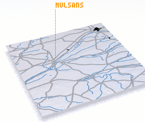 Places with similar names to Mulsans, France ::
Disclaimer :: Information on this page comes without warranty of any kind |
||
|
Where is Mulsans? Elevation and coordinates ::
Latitude (lat): 47°42'0"N Longitude (lon): 1°23'0"E
Elevation (approx.): 109m (map arrows pan, magnifying glasses zoom) |
||
|
Visiting Mulsans? Hotel/Accommodation ::
Book a hotel in Mulsans Travel Guide ::
Buy a travel guide for France rental cars ::
car rental offers GPS waypoint ::
download a GPX waypoint (PoI) of Mulsans for your GPS receiver
|
||