|
search place name
|
||
Nantiat (Limousin, France)Nantiat is a town in the Limousin region of France. An overview map of the region around Nantiat is displayed below.
regional and 3d topo map of Nantiat, France ::

Nantiat airports ::
The nearest airport is LIG - Limoges Bellegarde, located 17.1 km south of Nantiat.
Other airports nearby include ANG - Angouleme Brie Champniers (81.2 km south west), PIS - Poitiers Biard (92.7 km north west), MCU - Montlucon-gueret Montlucon Gueret (94.1 km east), PGX - Perigueux Bassillac (95.4 km south), Nearby towns ::
Le Buis (2.3km north east) //
La Garde (3.9km north) //
Conore (3.9km south) //
Thouron (3.2km south east) //
Taillac (4.5km south west) //
La Grelle (4.5km south east) //
Chamboret (4.3km south west) //
Saint-Symphorien-sur-Couze (5.4km north east) //
Saint-Morat (5.4km south east) //
Puimenier (5.1km east) //
Roussac (7.5km north) //
Saint-Jouvent (7.5km south) //
Saint-Junien-les-Combes (8.4km north west) //
Peyrilhac (8.4km south west) //
Courieux (9.0km north east) //
[all distances 'as the bird flies' and approximate] 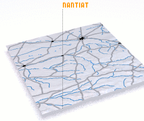 Places with similar names to Nantiat, France ::
// Nënshat (AL)
// Nani-chito (US)
// Nan Château (HT)
// Nanshetou (CN)
// Nanshuitou (CN)
// Nanshuitou (CN)
Disclaimer :: Information on this page comes without warranty of any kind |
||
|
Where is Nantiat? Elevation and coordinates ::
Latitude (lat): 46°1'0"N Longitude (lon): 1°11'0"E
Elevation (approx.): 311m (map arrows pan, magnifying glasses zoom) |
||
|
Visiting Nantiat? Hotel/Accommodation ::
Book a hotel in Nantiat Travel Guide ::
Buy a travel guide for France rental cars ::
car rental offers GPS waypoint ::
download a GPX waypoint (PoI) of Nantiat for your GPS receiver
|
||