|
search place name
|
||
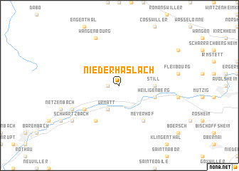
Niederhaslach (Alsace, France)Niederhaslach is a town in the Alsace region of France. An overview map of the region around Niederhaslach is displayed below.
regional and 3d topo map of Niederhaslach, France ::
Niederhaslach airports ::
The nearest airport is SXB - Strassbourg Entzheim, located 20.6 km east of Niederhaslach.
Other airports nearby include CMR - Colmar Houssen (48.9 km south), ZCC - Baden-baden Baden Oos (67.2 km north east), SCN - Saarbruecken Saarbrucken (76.0 km north), ENC - Nancy Essey (84.0 km west), Nearby towns ::
Oberhaslach (1.2km west) //
Urmatt (3.9km south) //
Still (3.7km east) //
Heiligenberg (4.1km south east) //
Muhlbach-sur-Bruche (5.2km south west) //
Grendelbruch (6.1km south west) //
Laubenheim (6.1km south east) //
Mollkirch (6.1km south east) //
Meyerhof (6.1km south east) //
Lutzelhouse (6.2km south west) //
Wangenbourg (7.8km north) //
Schwartzbach (7.4km south west) //
[all distances 'as the bird flies' and approximate] 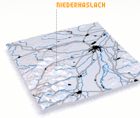 Places with similar names to Niederhaslach, France ::
// Niederhaslach (DE)
// Niederhäslich (DE)
Disclaimer :: Information on this page comes without warranty of any kind |
||
|
Where is Niederhaslach? Elevation and coordinates ::
Latitude (lat): 48°33'0"N Longitude (lon): 7°21'0"E
Elevation (approx.): 284m (map arrows pan, magnifying glasses zoom) |
||
|
Visiting Niederhaslach? Hotel/Accommodation ::
Book a hotel in Niederhaslach Travel Guide ::
Buy a travel guide for France rental cars ::
car rental offers GPS waypoint ::
download a GPX waypoint (PoI) of Niederhaslach for your GPS receiver
|
||