|
search place name
|
||
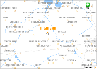
Nisnisan (Bretagne, France)Nisnisan is a town in the Bretagne region of France. An overview map of the region around Nisnisan is displayed below.
regional and 3d topo map of Nisnisan, France ::
Nisnisan airports ::
The nearest airport is DNR - Dinard Pleurtuit, located 15.4 km north east of Nisnisan.
Other airports nearby include SBK - St.-brieuc Armor Armor (47.5 km west), RNS - Rennes St Jacques (58.3 km south east), JER - Jersey (80.6 km north), VNE - Vannes Meucon (92.4 km south west), Nearby towns ::
Saint-Michel-de-Plélan (1.9km south) //
Saint-Méloir des Bois (4.4km south west) //
Saint-Maudez (4.4km south east) //
La Goupillière (4.4km north west) //
Bourseul (3.7km west) //
Corseul (3.7km east) //
Plélan-le-Petit (5.7km south) //
Plancoët (6.1km north west) //
La Landec (6.1km south east) //
Créhen (7.4km north) //
Saint-Aydes (5.3km west) //
Saint-Lormel (7.5km north) //
Pluduno (7.4km north west) //
Vildé-Guingalan (7.4km south east) //
Plessix-Balisson (7.4km north east) //
Saint-Potan (8.9km north west) //
[all distances 'as the bird flies' and approximate] 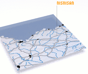 Places with similar names to Nisnisan, France ::
// Niẕẕane Sinay (IL)
Disclaimer :: Information on this page comes without warranty of any kind |
||
|
Where is Nisnisan? Elevation and coordinates ::
Latitude (lat): 48°29'0"N Longitude (lon): 2°13'0"W
Elevation (approx.): 45m (map arrows pan, magnifying glasses zoom) |
||
|
Visiting Nisnisan? Hotel/Accommodation ::
Book a hotel in Nisnisan Travel Guide ::
Buy a travel guide for France rental cars ::
car rental offers GPS waypoint ::
download a GPX waypoint (PoI) of Nisnisan for your GPS receiver
|
||